
Regional atlases: A summary survey
- Publication
- Geographical Review
- Volume
- 52
- Issue
- 3
- Pages
- 407-432
Austria · Version 1
1980–1986This broad survey gives a progress report on the new atlas of Austria planned by the Austrian Academy of Sciences' Commission for Land Planning under Hans Bobek and Erik Arnberger. It describes the prospectus—85 main maps at 1:1,000,000, about 140 smaller-scale maps, diagrams and city plans—and the first of five annual installments (1961): 19 plates on topography, climate, prehistoric settlement, land use, traffic density, administrative divisions, the Catholic Church, the 1959 state election, and two Vienna plans. The reviewer calls the printing and cartography of the highest order and extremely effective.
View whole-article summary
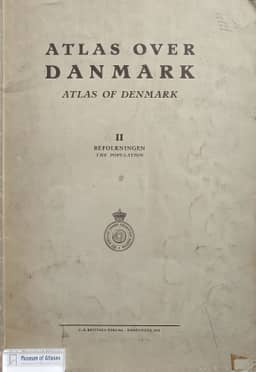
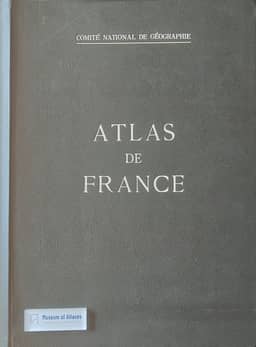
This article provides a systematic summary review of approximately one hundred regional atlases from around the world, organized primarily by continent (or other large region) and then alphabetically by country within each group. The author begins by noting that the ever-increasing flood of atlases—national, regional, topical, and special—makes individual reviews impossible, thus necessitating summary evaluations to acknowledge important publications while respecting space constraints. The review covers representative works from Europe, Asia, Africa, Oceania, North America, and South America, encompassing road atlases, historical-geographical atlases, national atlases, climatic atlases, economic atlases, and school atlases. Each atlas is assessed in terms of its compiling institution, editors, scales, number of plates, content structure, cartographic techniques, printing quality, and scholarly value, with notable features and shortcomings highlighted. For instance, the European section evaluates works such as the Euroatlas, Atlas östliches Mitteleuropa, Atlas von Niederösterreich, Atlas de Belgique, Climatic Atlas of Czechoslovakia, Atlas of Denmark, and Atlas of Finland, while the American section covers state atlases from Kansas, Kentucky, Minnesota, Missouri, Montana, New York, Ohio, and West Virginia, as well as national atlases from Brazil, Colombia, and Venezuela. The article emphasizes that these atlases not only reflect the research standards of geography and cartography in their respective countries but also serve as vital references for regional planning, economic development, historical research, and education. The author concludes by acknowledging that no single individual can possess sufficient expertise across all aspects of geography, cartography, and linguistics to render definitive critical judgments, yet such summaries offer valuable guidance to scholars, with a forthcoming review of world atlases and special atlases announced.
Related Atlases







Comments
Loading...
0/2000