
The so-called national atlases and the first of them: The atlas of Finland
Los llamados atlas nacionales y el primero de ellos: el de Finlandia
- Publication
- Estudios Geográficos
- Volume
- 21
- Issue
- 81
- Pages
- 534-538
Finland · Version 3
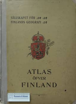
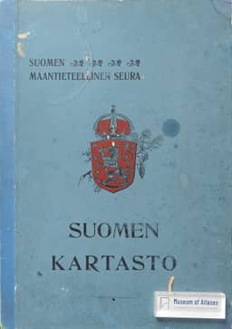
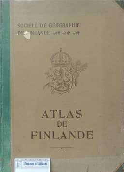
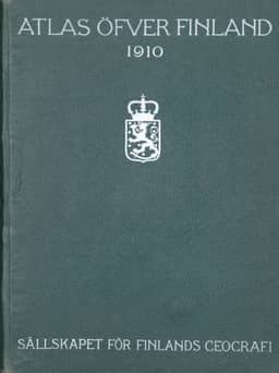
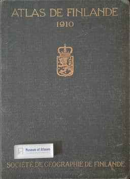
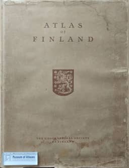
1925Juan Benito Arranz assesses the third edition of the Atlas of Finland, published in 1925–1928 with accompanying text in 1929, as a further improvement in the series. He describes its compilers' effort to use new documentation for broader, more synthetic coverage of the country and its living conditions. The edition expanded continental hydrology and vegetation mapping, added synthesis maps such as natural regions, and introduced public-health maps. Arranz praises clearer conventional symbols and more efficient sheet layouts; the removal of most regional maps and some diagrams reduced the total from 55 to 38 sheets compared with the second edition. His reservations concern inadequate representation of change over time, missing soil and general economic maps, excessive use of cartograms, and occasional lack of clarity.
View whole-article summary
This article reviews the development of national atlases, focusing on the pioneering role of the Atlas of Finland as the first of its kind. It notes that a national atlas aims to systematically summarize a country's scientific knowledge in physical, human, economic, and political geography. First published in 1899, the Atlas of Finland set an example for other nations through its subsequent improved editions. The compilation of national atlases expanded globally during and after the interwar period, with a trend towards fascicle publication. The article lists various national atlases in progress or completed at the time and analyzes the characteristics and contributions of different editions of the Finnish atlas, emphasizing its significance in advancing geographical research and international comparison.
Comments
Loading...
0/2000