
The so-called national atlases and the first of them: The atlas of Finland
Los llamados atlas nacionales y el primero de ellos: el de Finlandia
- Publication
- Estudios Geográficos
- Volume
- 21
- Issue
- 81
- Pages
- 534-538
Finland · Version 1
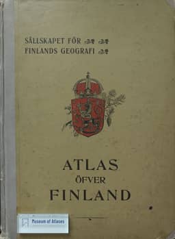
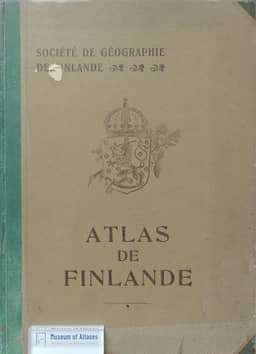
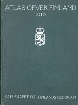
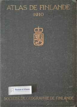
1899Arranz identifies the 1899 Atlas of Finland, published at the initiative of the Geographical Society of Finland, as the earliest national atlas. Its 32 plates cover the physical environment, population, natural resources, economy and rural schools. He singles out the Quaternary-deposit map and the climatic series, including snow cover and early frosts, for their detail. Although he considers its overall structure and some maps open to severe criticism by contemporary standards, he judges the atlas an outstanding work for its time.
View whole-article summary
This article reviews the development of national atlases, focusing on the pioneering role of the Atlas of Finland as the first of its kind. It notes that a national atlas aims to systematically summarize a country's scientific knowledge in physical, human, economic, and political geography. First published in 1899, the Atlas of Finland set an example for other nations through its subsequent improved editions. The compilation of national atlases expanded globally during and after the interwar period, with a trend towards fascicle publication. The article lists various national atlases in progress or completed at the time and analyzes the characteristics and contributions of different editions of the Finnish atlas, emphasizing its significance in advancing geographical research and international comparison.


Comments
Loading...
0/2000