
Homenaje a la Patria: Latin American National Atlases
- Publication
- Latin American Research Review
- Volume
- 30
- Issue
- 1
- Pages
- 256-265
Panama
1988The review treats the 1988 Atlas nacional de la República de Panamá as the third edition of Panama's national atlas, after 1965 and 1975, and notes that it expands thematic coverage considerably, with the editors claiming about half the thematic content is new; Japanese technical and financial assistance is acknowledged. The 222-page full-color atlas measures 18.5 by 15 inches and presents about half its maps at 1:1,000,000 across two facing pages, with large-scale Panama City maps in the industry section and maps of trade, canal traffic, telecommunications, tourist origins, and Panamanians abroad. More than 70 percent is maps and about 20 percent text, with each map accompanied by description or interpretation, graphs or tables, sources, and sometimes statistical methodology; fifteen chapters cover physical environment and agriculture (nearly 40 percent), population, education and culture, health and social conditions, industry, transport and commerce (about the same share), reference maps (10 percent), and land resources, forestry and fishing, services, and electoral conditions (10 percent). The reviewer judges it intellectually and technically high in quality, with focused, clearly presented maps and broad, balanced thematic content, and only minor color registration and color-scheme problems.
View whole-article summary
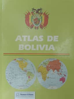
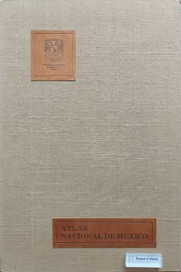
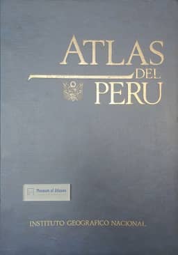
This article reviews and evaluates six recently published national atlases from Latin America, including the Atlas de Colombia (4th edition), Atlas Nacional de México (3 volumes), Nuevo Atlas Nacional de Cuba, Atlas de Perú, Atlas Nacional de la República de Panamá, and Atlas de Bolivia. The article first defines the criteria for a 'national atlas': it must be produced under the auspices or with the approval of the national government, aim to provide broad thematic coverage of the nation, and be produced to high intellectual and cartographic standards for scholarly research. It then provides detailed assessments of each atlas, covering physical specifications, organizational structure, thematic content, cartographic quality, and strengths and weaknesses. The Atlas Nacional de México is particularly praised for its monumental scale, rich thematic coverage, and fine cartography, though it is noted for overly complex symbols and lack of an index. The Nuevo Atlas Nacional de Cuba is recognized as a continuation of Cuba's strong cartographic tradition, demonstrating extensive collaboration and high production quality. Other atlases show varying strengths in thematic breadth and presentation but commonly suffer from vague citations, lack of general bibliographies, or missing indexes. The article concludes that while the quality of these atlases ranges from outstanding to barely acceptable, all serve as valuable reference sources for Latin American studies, with environmental, cultural, and historical content retaining long-term utility, and recommends their acquisition by university libraries with relevant programs.
Related Atlases



Comments
Loading...
0/2000