
On the state of atlas cartography in Austria
Zum Stand der Atlaskartographie in Österreich
- Publication
- Mitteilungen der Österreichischen Geographischen Gesellschaft
- Volume
- 133
- Pages
- 201-232
Austria · Version 1
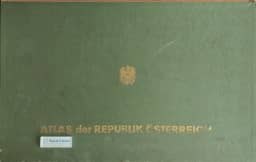
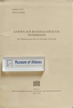
1980–1986Ingrid Kretschmer discusses the Atlas der Republik Österreich, completed in 1980 under Hans Bobek after twenty years of work and publication, and the 1986 supplement Karten zur Regionalstruktur Österreichs by M. Fesl and H. Bobek. The atlas comprises 127 sheets and two cover sheets, with 309 main and inset maps. Kretschmer identifies synthesis as its guiding methodological principle and argues that this helped many sheets retain their currency. Citing Bobek's assessment, she reports that at least 46 sheets remained fully current and another 36 retained value over one to two decades; slightly less than a third were of reduced interest because their underlying data had aged. She notes that the atlas was not being continuously updated. The supplement contains four complex thematic maps at 1:1,000,000 covering population change in 1971–1981, the socioeconomic structure of the resident population, tourism, and regional formation through service and employment centres. Kretschmer explains their use of official statistics and research on central-place hierarchies and catchment areas, as well as their links to earlier atlas sheets, which allow comparison over time. She praises the information they convey from the national scale down to municipalities. Her detailed discussion highlights the population map's first cartographic representation of roughly 400 lowest-level service centres and self-supplying settlements, the tourism map's combination of eight characteristics for each reporting municipality, and the integration of employment, service provision and commuting relationships in the regional-structure map.
View whole-article summary
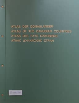
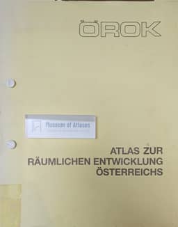
This article reviews the state of atlas cartography in Austria, focusing on developments from the 1980s to the early 1990s. It begins by noting that since the completion of the 'Atlas of the Republic of Austria' in 1980, a decade of significant change had occurred in Austrian atlas production. This atlas, edited by Hans Bobek over twenty years, comprised 127 map sheets and 309 main and supplementary maps, and its synthetic approach ensured its continued relevance. A 1986 supplement updated topics such as population change and socio-economic structure. The article then discusses major projects: the ongoing work and completion of the 'Atlas of the Danubian Countries' (1989), and the initiation of new works like the 'ÖROK Atlas on Spatial Development in Austria' (from 1983) and the 'Planning Atlas for Vienna' (from 1983). It also covers specialized atlases, including the 'Geochemical Atlas of Austria' and the 'Atlas of Eastern and Southeastern Europe' (from 1989). In school cartography, the article examines revisions and innovations in Austrian school atlases during the 1980s, particularly adaptations to new curricula. Finally, it highlights the impact of technological advances, noting that from the mid-1980s, digital techniques began to influence Austrian cartography, transforming traditional methods. Overall, Austrian atlas cartography remained dynamic from the 1980s to the early 1990s, completing major works while embracing new directions and digital trends.
Related Atlases
Comments
Loading...
0/2000