
The Evolution of the Atlas of Canada, 1906–2006
- Publication
- Cartographica
- Volume
- 41
- Issue
- 3
- Pages
- 259-265
Canada · Version 5
2026Gosson traces the online Atlas of Canada from its 1994 Web initiative to the sixth edition launched in August 1999, following government authorization of an ongoing Internet-based atlas program in 1998. She describes interactive access to geographic information, underlying data and data sources. The original title, Atlas of Canada, was restored in 2002; revisions in 2004 improved navigation and information discovery. In her account, the online atlas functions as a continually developing database of integrated information, with the website as its principal publication outlet. She emphasizes partnerships with organizations holding scientific data and associated expertise, and describes consultation with teachers in developing its SchoolNet content and access tools. These observations concern the online atlas through the article's mid-2000s account, not its 2026 state.
View whole-article summary
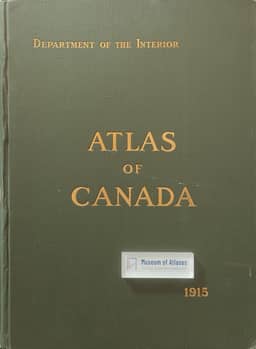
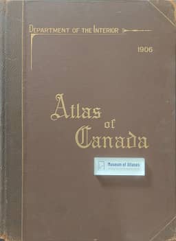
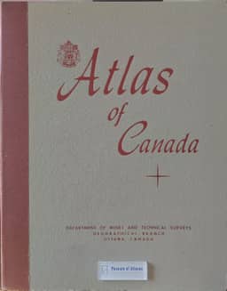
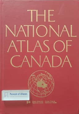
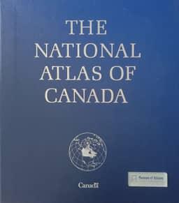
Claire Gosson traces the Atlas of Canada through six editions, relating its changing content and format to national planning, public understanding and access to geographic information. James White's 1906 atlas combined physical, population, communications and historical maps with city plans; the 1915 revision incorporated expanded provincial boundaries and the 1911 census. Postwar information needs led to the third edition, with fuller physical, human and economic coverage. The 1974 fourth edition adopted the title National Atlas of Canada, and its distribution as map folios helped prompt a continuing atlas program. For the fifth edition, advisory consultations supported a computerized national database: data were compiled at 1:2,000,000, and maps published mainly at 1:7,500,000 using standardized bases. Digital cartography, satellite data and interagency cooperation supported production, but only 93 of roughly 200 planned map subjects were completed by its closure in 1995. Gosson then describes the 1994 Internet atlas, educational development through SchoolNet and the sixth edition's launch in 1999. Renamed Atlas of Canada in 2002, the online edition developed through scientific partnerships, improved navigation and accessibility, and interactive access to data. Gosson characterizes it as an integrated, evolving database whose principal publication is on the Web, serving as an authoritative national portrayal and educational resource.
Related Atlases
Comments
Loading...
0/2000