
Austrian regional and national atlases and their importance for the advancement of thematic cartography
Österreichische Regional- und Nationalatlanten und ihre Bedeutung für den Fortschritt der thematischen Kartographie
- Publication
- Festschrift für Georg Jensch: aus Anlaß seines 65. Geburtstages
- Pages
- 1–18
Austria · Version 1
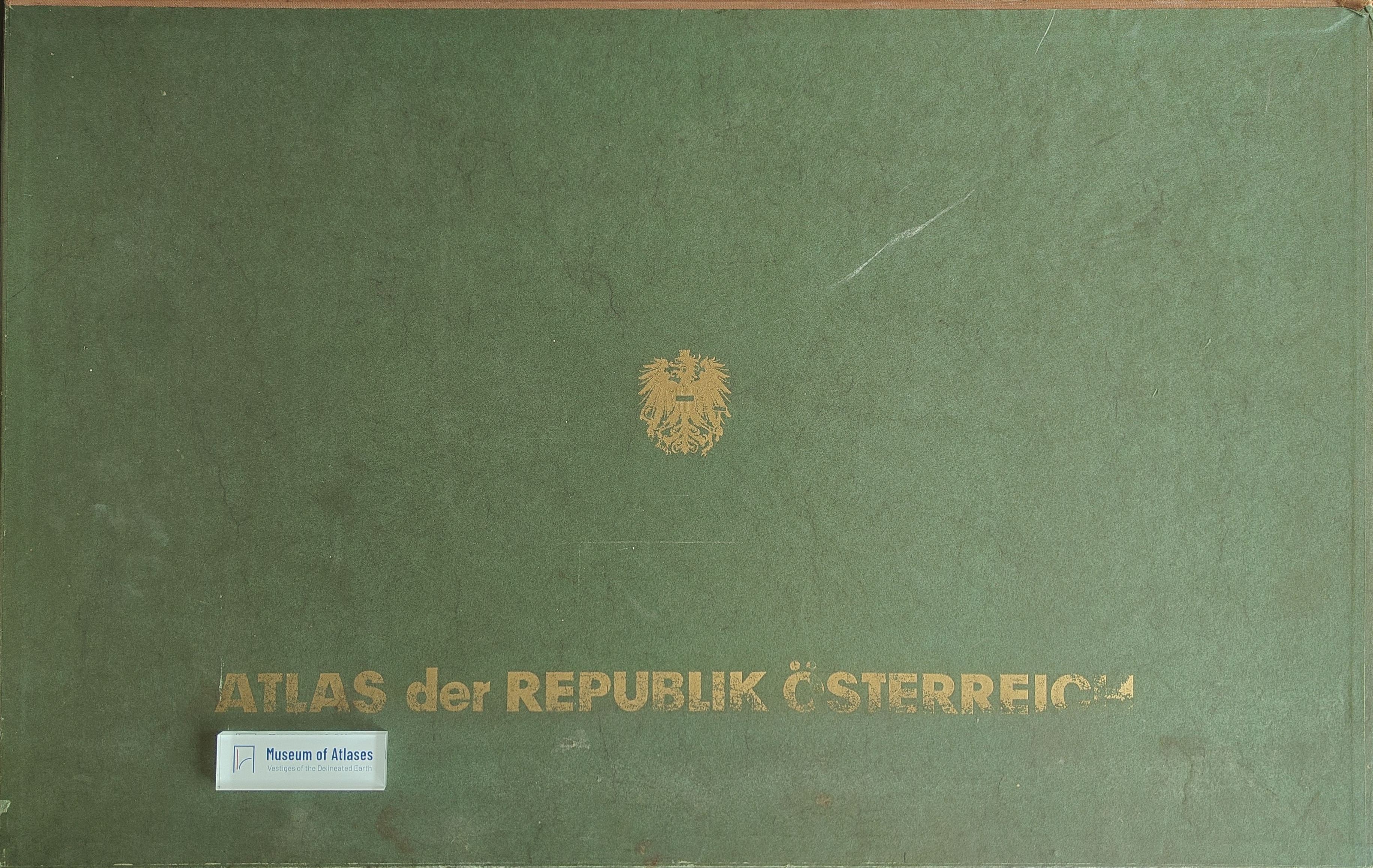
1980–1986Erik Arnberger, who oversaw cartographic and technical work on the Atlas der Republik Österreich, reports that the Austrian Academy of Sciences published it under Hans Bobek’s direction through Freytag-Berndt und Artaria; five installments were available at the time of writing. He credits experience gained from regional atlases with informing its compilation and states that complex analytical and synthetic maps predominate. He highlights new cartographic approaches and attention to construction accuracy in maps of land use, natural vegetation, climate types, regions defined by service and employment centres, and tourism. Arnberger gives particularly high praise to Bobek’s treatment of social-geographical subjects. This account concerns the atlas itself and does not discuss the 1986 supplement.
View whole-article summary
In the available opening and closing sections, Erik Arnberger discusses how Austrian regional and national atlas production contributed to thematic mapping methods and the development of cartography as a discipline. He distinguishes three periods: before 1850, atlases were sporadic and predominantly topographic; from 1850 to the First World War, subject-oriented regional atlases and thematic national atlases proliferated; after the war, regional atlases adopted a broad regional-studies basis, increasingly emphasizing complex analysis, synthesis, and distributions of types after 1950. He also identifies coordinate-referenced statistics, grids, electronic data processing, and automatic drawing equipment as factors in emerging map design. The opening connects nineteenth-century developments with scientific institutions, administrative statistics, and the display requirements of world exhibitions. Industrial and agricultural atlases illustrate changes in area colouring, combined symbols, and statistical representation by economic region. Arnberger characterizes 1850–1890 as a major flourishing of thematic cartography, followed by stagnation until the First World War, and discusses Peucker’s and Eckert’s efforts to establish an independent cartographic science and their limitations. The closing advocates collaboration between thematic cartography and subject disciplines: cartographers should understand the mapped object to the extent required for its representation and participate in joint work from design through printing. Mapping spatial distributions can assist other disciplines in investigating causal relationships, while causal explanation itself remains outside thematic cartography’s task. Arnberger also emphasizes the international intelligibility of cartographic language.
Comments
Loading...
0/2000