
National atlases as indicators of scientific and economic change
- Publication
- Essays in Geography
- Pages
- 15–19
Canada · Version 1
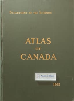
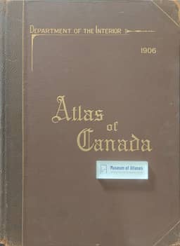
1906–1915Nicholson compares the 1906 and 1915 Atlas of Canada as part of his account of how national atlases register changes in knowledge, cartography and economic life. He finds their coverage broadly similar, emphasizing physical geography, especially climate and forests, transportation and communication, and population distribution and origins. The principal change in 1915 was expanded urban coverage: Regina, Edmonton and Victoria gained maps, while several eastern cities received more space. Nicholson connects these changes to urban growth and western development. The 1915 volume also added a world map and omitted the telephone maps included in 1906. Nicholson identifies limited mapping of economic activity and the absence of detailed Arctic maps and glacier coverage as shortcomings of both volumes. Economic statistics were nevertheless presented extensively in charts and diagrams: these occupied 44 sheets, about 53 percent of the 1906 volume, falling to 34 percent in 1915. Both volumes used east and west topographic sheets at 1:6,336,000; he judges the 1915 sheets more accurate and visually attractive, noting less generalized contours and added water depths. Both were published only in English.
View whole-article summary
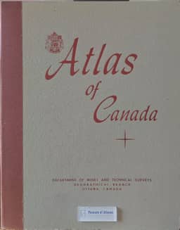
Nicholson compares Canada’s national atlases of 1906, 1915 and 1957 through their coverage, presentation, map sequence and language, treating the series as a record of changing geographical knowledge, cartographic practice and national development. The first two atlases emphasized physical geography, transportation and population; expanded city mapping in 1915 reflected urban growth. The 1957 atlas added detailed Arctic coverage, glaciers, soils, flora and fauna, and substantially expanded the mapping of economic activity. Separate statistical sheets declined from 53 percent of the 1906 volume to 34 percent in 1915 and disappeared in 1957. Nicholson connects increasingly precise spatial information to survey work, aerial photography and improved collection and analysis of economic and social data. He praises advances in topographic detail, colour and printing, while criticizing statistical maps that imply abrupt changes at administrative boundaries; he finds the 1957 population-density map more realistic. The editions share a broadly similar map sequence, whose theoretical basis he considers insufficiently examined. The earlier atlases appeared only in English; the decision to produce English and French volumes for the 1957 atlas reflected, in his view, Canada’s developing biculturalism. He argues that successive national atlases can guide geographical research and assess progress, and that census-like institutional status would support continuity of staff and concepts between editions.
Related Atlases
Comments
Loading...
0/2000