
National atlases as indicators of scientific and economic change
- Publication
- Essays in Geography
- Pages
- 15–19
Canada · Version 2
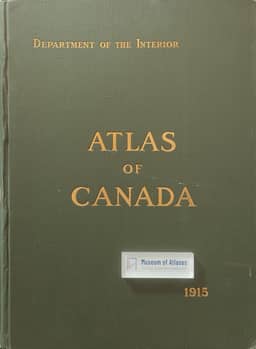
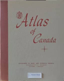
1957–1959Comparing the 1957 Atlas of Canada with its predecessors, Nicholson describes expanded coverage of Arctic Canada at the same scale as the southern sheets, the inclusion of glaciers, soils, flora and fauna, and fuller mapping of fishing, agriculture, sawmills, mining and manufacturing. Physical geography remained dominant, with an increased share of space for climate. He notes that the edition had no sheets devoted exclusively to statistical charts and interprets the greater use of maps as reflecting improved knowledge of resource locations and distributions. He also credits survey work and advances in depiction and printing for the greater accuracy and detail of its 1:5,000,000 topographic sheets. His assessment includes specific reservations: some statistical maps misleadingly suggest abrupt changes at provincial boundaries, although he finds the population-density map more realistic than earlier treatments. Nicholson states that the map sequence was not consciously modeled on the earlier Canadian editions. He also records the decision to produce separate English and French volumes, which he associates with Canada's developing biculturalism.
View whole-article summary
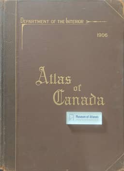
Nicholson compares Canada’s national atlases of 1906, 1915 and 1957 through their coverage, presentation, map sequence and language, treating the series as a record of changing geographical knowledge, cartographic practice and national development. The first two atlases emphasized physical geography, transportation and population; expanded city mapping in 1915 reflected urban growth. The 1957 atlas added detailed Arctic coverage, glaciers, soils, flora and fauna, and substantially expanded the mapping of economic activity. Separate statistical sheets declined from 53 percent of the 1906 volume to 34 percent in 1915 and disappeared in 1957. Nicholson connects increasingly precise spatial information to survey work, aerial photography and improved collection and analysis of economic and social data. He praises advances in topographic detail, colour and printing, while criticizing statistical maps that imply abrupt changes at administrative boundaries; he finds the 1957 population-density map more realistic. The editions share a broadly similar map sequence, whose theoretical basis he considers insufficiently examined. The earlier atlases appeared only in English; the decision to produce English and French volumes for the 1957 atlas reflected, in his view, Canada’s developing biculturalism. He argues that successive national atlases can guide geographical research and assess progress, and that census-like institutional status would support continuity of staff and concepts between editions.
Related Atlases
Comments
Loading...
0/2000