
The centenary of the world's first national atlas: Atlas of Finland
Le centenaire du premier atlas national au monde : l'Atlas de Finlande//The centenary of the world's first national atlas : Atlas of Finland
- Publication
- Annales de Géographie
- Volume
- 109
- Issue
- 612
- Pages
- 172-175
Finland · Version 1
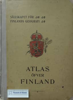
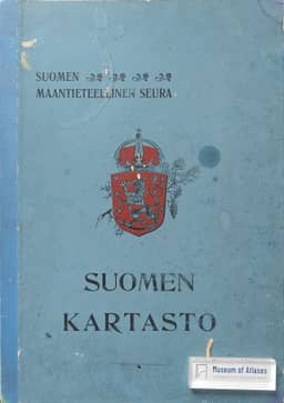
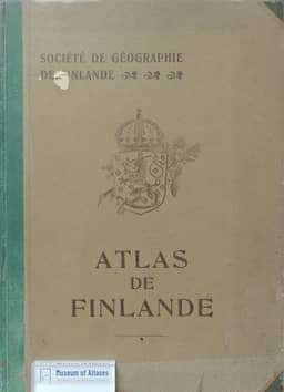
1899Michel Cabouret recounts the preparation and publication of the 1899 Atlas of Finland, which he identifies as the world's first modern national atlas. Following Finnish cartographic displays at the international geographical congresses of 1881 and 1895, a planning committee was established in 1896. The atlas was presented in Helsinki on 25 September 1899, just before the Berlin congress opened on 28 September. Published in Finnish, Swedish and French, it contained 18 thematic overview maps, 85 cartograms and 33 graphs, with a separate 400-page commentary. It received a gold medal at the Paris Universal Exhibition of 1900. Cabouret praises its cartographic techniques and use of statistical data for thematic mapping, describing it as as complete a geographical portrait of Finland as was then practicable.
View whole-article summary
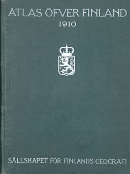
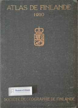
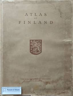
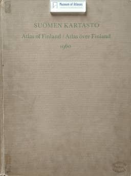
Cabouret reviews a century of the Atlas of Finland, which he identifies as the world's first modern national atlas. Finnish cartographic displays at the 1881 and 1895 international geographical congresses preceded the project; Reclus encouraged publication, and the Geographical Society framed the work as a patriotic duty. A committee established in 1896 prepared the 1899 edition for the Berlin congress. Published in Finnish, Swedish and French, it contained 18 thematic overview maps, 85 cartograms, 33 graphs and 400 pages of commentary. Cabouret emphasizes its use of statistics in thematic mapping and records its gold medal at the 1900 Paris exposition. The second edition, prepared for the 1910 Geneva congress and cited as published in 1911, expanded coverage of geology, glaciation, languages, disease, towns and population distribution. The 1925 edition addressed independent Finland, shortened the commentary and replaced French with English. Postwar territorial losses and industrialization prompted the substantially renewed 1960 atlas, produced with Helsinki University's Geography Institute and using more small-format maps and graphs to show change and regional dynamics. The fifth edition appeared in 25 thematic fascicles in 1977–1994, with extensive trilingual commentary, over 3,000 maps and over 2,000 graphs. The Finnish-only 1999 Jubilee Atlas involved 57 geographers and researchers. The article also traces the international spread of national atlases and compares the later Danish, Swedish and Norwegian publications, noting that Cabouret knew of no Icelandic national atlas. He regards Finland's early publication and the quality of successive editions as evidence of the strength of Finnish geography.
Related Atlases
Comments
Loading...
0/2000