
History and Potential of National and Regional Atlas Issues in East Africa
- Publication
- Abstracts of the International Cartographic Association
- Volume
- 5
- Pages
- 12
Tanganyika · Version 1
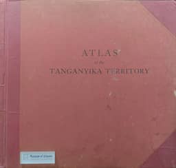
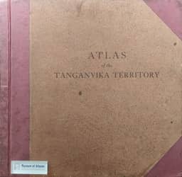
1942–1948The authors record the publication of the Atlas of the Tanganyika Territory in 1942 and 1948. They include these issues in a sequence of six atlas editions intended to depict Tanzania’s physical and natural environment, and state that the base maps for all editions were derived from a 1:2,000,000 topographic map, then the largest published scale covering the entire country on one sheet.
View whole-article summary
National atlases provide synthesised spatial knowledge of a particular country in the form of maps and textual descriptions. The three East African Countries gained independence at around the same time and most of their topographic mapping programmes were supported by the Directorate of Overseas Surveys (DOS). Similarly, the first editions of their national atlases were created and published around the same time. However, for various reasons, the national atlases have not been updated for quite some time. The same reasons advanced for the delayed revisions of the topographical are also applicable to the national atlases. The development of web mapping technology, Spatial Data Infrastructure (SDI) and the Volunteered Geographic Information (VGI) paradigms have changed how national atlases are prepared and used. SDI and VGI provide a great opportunity for the East African Countries to revive the National Atlas - although the SDI development in East African Countries remains low.
Related Atlases




Comments
Loading...
0/2000