
Development Directions for the National Atlas of the Republic of Korea through a Comparative Analysis of National Atlases
국가지도집의 비교 분석을 통한 대한민국 국가지도집의 발전 방향
- Publication
- 대한지리학회지
- Volume
- 52
- Issue
- 4
- Pages
- 495–510
South Korea · Version 1
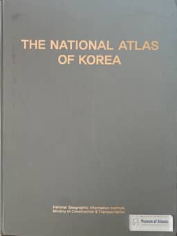
1989–1993Jeong and Hwang describe the 1989 National Atlas of Korea as an experimental publication commissioned by the National Geography Institute and prepared by the Korea Research Institute for Human Settlements. It contained 77 thematic maps covering nature, industry, transport, administration, population, construction, education and social conditions; 500 copies of the 114-page B3 atlas were produced. The authors criticize its undocumented compilation standards, sources and mapping methods, its lack of explanatory text, errors in depicting Japanese and Russian borders, awkward presentation of Korea's location, and omission of general and regional base maps. They judge it deficient against international national-atlas standards and report that it was used chiefly within the institution without external distribution. They note a 1993 revision but provide no separate assessment of it.
View whole-article summary
The South Korean government published national atlases twice, in 2007 and from 2014 to 2016. The national atlas published between 2014 and 2016 is regarded as more advanced than the 2007 edition in terms of both format and content. However, it still leaves room for improvement in the quality of maps, infographics, and descriptive text compared to models from advanced countries. Furthermore, given the rapidly increasing demand for spatial information in the 21st century and the widespread use of computer technology across society, the national atlas also requires complementary work on its digital systems. Against this background, this paper aims to propose directions for the development of future national atlases of South Korea. To this end, the production and development processes of national atlases were analyzed by dividing them into domestic and international cases, with international cases further examined by separating print and digital formats. Based on this analysis, development strategies for the South Korean national atlas were proposed from four perspectives: the advancement of print-format national atlases, the transition to digital national atlases adopting an atlas information system, the establishment of a system for continuous updates to the national atlas, and institutional mechanisms for producing the national atlas.
Related Atlases



Comments
Loading...
0/2000