
Cartographical progress: Atlas of Canada
- Publication
- The Geographical Journal
- Volume
- 126
- Issue
- 2
- Pages
- 241-242
Canada · Version 1
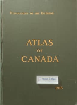
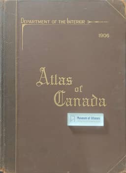
1906–1915The review's historical preface identifies the 1906 Atlas of Canada as the first official national atlas, prepared under James White and issued by the Department of the Interior, and the 1915 edition as a revised and enlarged version prepared under J. E. Chalifour. It says the 1915 edition reused many plates, relettered them in a more modern style, and added later material, and it treats both editions as early national atlases produced when relatively few countries had such works.
View whole-article summary
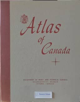
L. Dudley Stamp reviews the Atlas of Canada dated 1957 and published in 1959. He traces its predecessors of 1906 and 1915, Cabinet authorization in 1948, and eight or nine years of planning, research and cooperative compilation by the Department of Mines and Technical Surveys’ Geographical Branch. The 110 removable plates chiefly use the Lambert Conformal Conic projection and a basic scale of 1:10 million to present Canada’s physical background and economic development at mid-century. Stamp surveys historical-map redrawings, physical and climatic maps, advances in northern mapping, and demographic, social and economic data from 1951–57. He highlights detailed provincial gazetteers and paired urban land-use and development maps for eight cities. He praises the atlas’s comprehensive coverage, technical presentation and imaginative thematic treatment, while criticizing vague attribution of regional delineations and other interpretations, questioning the agricultural categories, and expressing reservations about the account of Köppen’s climatic classification.
Related Atlases
Comments
Loading...
0/2000