
Atlases of the western hemisphere: A summary survey
- Publication
- Geographical Review
- Volume
- 62
- Issue
- 1
- Pages
- 92-119
Dominican Republic · Version 2
1966The survey describes Alfredo Obiols and Rodolfo Perdomo's 1966 atlas as a useful planning atlas, prepared by staff of Guatemala's Instituto Geográfico Nacional as a supplement to the authors' report on integrated development planning for the Dominican Republic. It contains 36 colored maps, including 32 at 1:1,000,000, with numerous tables and graphs covering physical conditions, population, agriculture, transport, health facilities, land tenure, and potential land use. The survey quotes the authors' warning that the available information was very general and possibly not entirely accurate, while allowing an assessment of the scope and nature of problems hampering development.
View whole-article summary
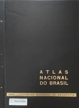
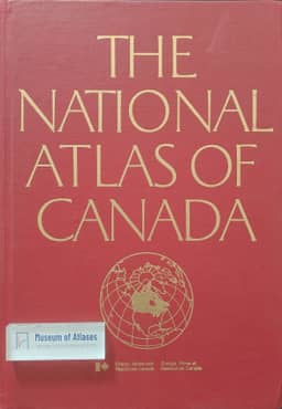
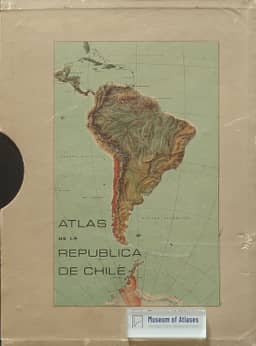
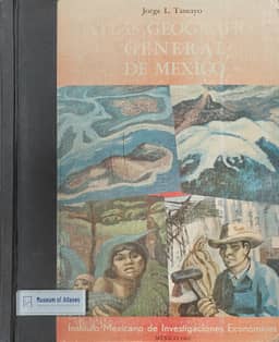
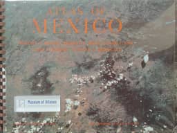
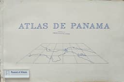
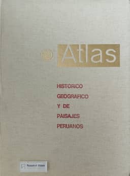
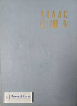
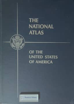
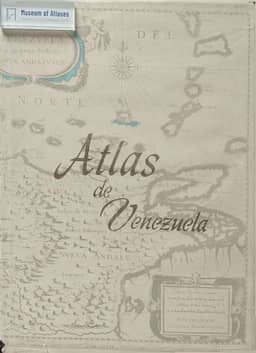
This article reviews significant atlases published in the Western Hemisphere (including North America, South America, and Central America and the Caribbean) since Ena L. Yonge's summary survey in 1962. The survey is divided into two parts, with this part focusing on the Western Hemisphere, covering 147 volumes of general and thematic atlases of the entire hemisphere, continents, major regions, and individual countries, as well as atlases of individual states and provinces of the United States and Canada. Notable atlases mentioned include the 'Alpha Map Transparencies' series for teaching regional geography, Theodore R. Miller's 'Graphic History of the Americas,' David K. Adams and H. B. Rodgers' 'An Atlas of North American Affairs,' and the 'Oxford Regional Economic Atlas: United States & Canada.' The Canadian section details the fourth edition of 'The National Atlas of Canada,' the 'Atlas and Gazetteer of Canada,' historical atlases, and the 'Atlas of Alberta.' The South American section covers atlases from Argentina, Brazil, Chile, Ecuador, Peru, Surinam, and Venezuela, such as the 'Atlas nacional do Brasil,' 'Atlas histórico geográfico y de paisajes peruanos,' and 'Atlas de Venezuela.' The article aims to describe the contents and features of these atlases rather than provide critical evaluations, and concludes by suggesting that the next decade may see an increase in the production of high-quality atlases by Western Hemisphere nations.
Related Atlases


Comments
Loading...
0/2000