
Atlases of the western hemisphere: A summary survey
- Publication
- Geographical Review
- Volume
- 62
- Issue
- 1
- Pages
- 92-119
United States · Version 2
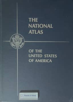
1970The survey describes the 1970 National Atlas of the United States of America, published by the United States Geological Survey, edited by Arch C. Gerlach, and directed by project chief William B. Overstreet. It notes contributions from more than 80 federal agencies and outlines the 417-page atlas: general reference maps include regional maps at 1:2,000,000, maps of the 27 largest cities, and maps of outlying areas; 281 pages cover physical, historical, economic, sociocultural, administrative, and cartographic themes; and an 81-page index contains 41,000 entries. The reviewer ranks the atlas among the finest national atlases for its artistic presentation and depth of content, and announces a forthcoming detailed review in the Geographical Review.
View whole-article summary
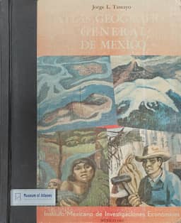
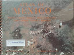
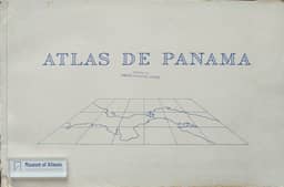
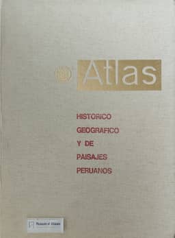
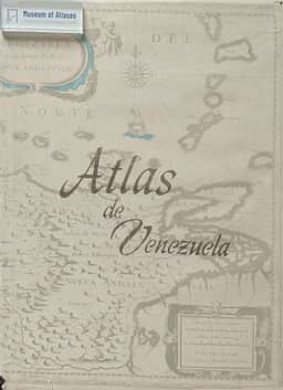
This article reviews significant atlases published in the Western Hemisphere (including North America, South America, and Central America and the Caribbean) since Ena L. Yonge's summary survey in 1962. The survey is divided into two parts, with this part focusing on the Western Hemisphere, covering 147 volumes of general and thematic atlases of the entire hemisphere, continents, major regions, and individual countries, as well as atlases of individual states and provinces of the United States and Canada. Notable atlases mentioned include the 'Alpha Map Transparencies' series for teaching regional geography, Theodore R. Miller's 'Graphic History of the Americas,' David K. Adams and H. B. Rodgers' 'An Atlas of North American Affairs,' and the 'Oxford Regional Economic Atlas: United States & Canada.' The Canadian section details the fourth edition of 'The National Atlas of Canada,' the 'Atlas and Gazetteer of Canada,' historical atlases, and the 'Atlas of Alberta.' The South American section covers atlases from Argentina, Brazil, Chile, Ecuador, Peru, Surinam, and Venezuela, such as the 'Atlas nacional do Brasil,' 'Atlas histórico geográfico y de paisajes peruanos,' and 'Atlas de Venezuela.' The article aims to describe the contents and features of these atlases rather than provide critical evaluations, and concludes by suggesting that the next decade may see an increase in the production of high-quality atlases by Western Hemisphere nations.
Related Atlases



Comments
Loading...
0/2000