
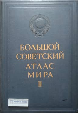
About the Maps of Volume II of the BSAM
О картах II тома БСАМ
- Publication
- Геодезист
- Issue
- 4
- Pages
- 23-26
USSR
1937–1939M. A. Sergeev reviews the representation of the Soviet North in volume II of the Great Soviet World Atlas. He praises the general and regional maps for clearly showing the distribution of economic activities, industrial centres, transport and trade networks, and the coexistence of industrial and traditional resource-based economies. He finds the comparison of pre-revolutionary and Soviet economic conditions particularly effective. Examples from Krasnoyarsk, Arkhangelsk, Omsk and the Far East illustrate how supplementary maps and insets clarify regional economic patterns without overcrowding the main maps. His criticisms include misplaced settlements, weak representation of population density in Yakutia, insufficient coverage of reindeer herding, and omissions in fishing, marine hunting and industrial activities. He also objects to combining fishing and marine hunting under one symbol in the historical inset. Sergeev judges the volume exceptionally useful for teaching and economic research, crediting its current information to careful processing of departmental manuscript materials in a field with few published economic sources.
View whole-article summary
This article reviews the maps of the Soviet North included in Volume II of the Great Soviet Atlas. The author first analyzes the general maps of the USSR, the RSFSR, and the North's economy, noting their strengths in depicting administrative divisions, population density, and economic indicators, while also pointing out specific errors and omissions. The discussion then shifts to regional maps, which are praised for effectively illustrating the economic profiles, industrial structures, and key nodes of various administrative units. The article particularly commends the editorial use of inset maps to enhance clarity and readability. In conclusion, the author asserts that Volume II provides an accurate, up-to-date, and comprehensive cartographic representation of Soviet economic development in the North, making it an invaluable resource for both educational and research purposes, a result of meticulous work with primary sources.
Related Atlases
Comments
Loading...
0/2000