
On the history of the national atlases of Poland
Zur Geschichte der Nationalatlanten Polens
- Publication
- Kartographische Nachrichten
- Volume
- 46
- Issue
- 1
- Pages
- 5-7
Poland · Version 3
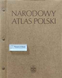
1978Rutkowski traces the compilation of Narodowy Atlas Polski from the Polish Academy of Sciences’ Institute of Geography taking over the project in 1956, through drafting and editorial work beginning in 1960, to publication in four instalments between 1973 and 1978. An editorial committee headed by St. Leszczycki oversaw the work. The atlas contains 127 plates with 634 maps and 110 diagrams, chiefly at 1:2,000,000, covering the physical environment, population, economy, services and sociocultural conditions. It depicts Poland around 1970 using the administrative divisions of December that year; after the 1975 administrative reform, a new map and a transparent overlay showing current boundaries were added to the final instalment. A supplementary volume supplied English translations of the introductory texts, map titles and legends. Intended for both research and public information, the atlas used a range of quantitative and qualitative mapping methods. Rutkowski cites 46,000 subscriptions as evidence of strong public interest and reports that this response, together with the rapid obsolescence of some maps, prompted work on a successor.
View whole-article summary
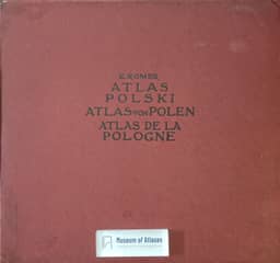
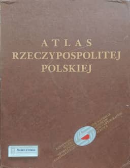
Jan Rutkowski reviews the history of Polish national atlases to contextualize the Atlas of the Republic of Poland then being compiled. Romer’s 1916 Geographical-Statistical Atlas of Poland covered Poland’s historical pre-partition territory in 32 plates devoted to physical geography, population and culture, and the economy. It used official statistics, mainly at 1:5 million, consistently applied pseudo-isolines to cultural and economic themes, and supplied Polish, French and German legends and text. Rutkowski distinguishes this precursor from the interwar statistical atlases, which lacked physical geography, and the wartime English-language atlas, whose prewar data had become outdated. A national-atlas project begun in 1945 and another published in four installments in 1953–1956 were halted by censorship or denied access to socioeconomic statistics. The Polish Academy of Sciences began a new initiative in 1956; design and editorial work started in 1960, and the National Atlas of Poland appeared in four installments in 1973–1978, with an English translation supplement. Its 127 plates contained 634 maps and 110 diagrams, principally at 1:2 million, covering the natural environment, population, economy, services and sociocultural structures. It represented conditions and administrative divisions in 1970; a map and transparent overlay supplied the boundaries introduced in 1975. Intended for researchers and the wider public, it combined choropleths, cartodiagrams, unit-value symbols and isolines with qualitative point and area symbols. Rutkowski reports 46,000 subscriptions; public interest and the rapid ageing of some maps prompted a successor initially planned as the Atlas of the Polish People’s Republic. Political, economic and social changes in 1989–1992 delayed compilation. A new agreement in 1992 allowed work to resume under M. Najgrakowski as the Atlas of the Republic of Poland, reported as 50% complete at the time of the article.
Related Atlases
Comments
Loading...
0/2000