
Some Recent Regional Atlases: A Review
- Publication
- Geographical Review
- Volume
- 41
- Issue
- 3
- Pages
- 479-484
Tanganyika · Version 1
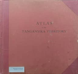
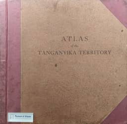
1942–1948Ristow reviews the December 1948 edition of the Atlas of the Tanganyika Territory against the 1942 first edition, which contained 27 map plates. He reports that strong demand prompted printing of a new edition in 1946. It retained the original format while updating virtually all maps, adding several new ones, and improving the coloring. Except for the historical section, the maps are at 1:4,000,000, and most have a page of descriptive text. Ristow judges the result a comprehensive cartographic picture of Tanganyika.
View whole-article summary
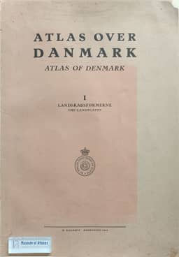
This review examines sixteen regional atlases published over a decade up to 1950, representing eleven countries. It begins by referencing Wright and Platt's classification of atlases into four types—general world, topical world, general regional, and topical regional—noting that the latter two serve as specialized tools for scholars. The author then critiques each atlas by country, covering French topical atlases on wine, textiles, peat bogs, and hydroelectric power; general regional atlases from Denmark, Austria, Germany, Hungary, Portugal, Belgium, Tanganyika, India, and Australia; and a rainfall atlas from Brazil. The review focuses on content organization, cartographic techniques, compilation backgrounds, and scholarly value, with particular praise for the collaborative model and cartographic excellence of the Atlas of Denmark. The article aims to provide geographers with a systematic overview and evaluation of these regional atlases for academic reference.
Related Atlases
Comments
Loading...
0/2000