
Some elements in the development of the National Atlas of Canada
- Publication
- Abstracts of Papers, International Geographical Congress, Norden 1960
- Pages
- 213-214
Canada · Version 2
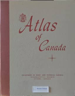
1957–1959Norman L. Nicholson's account traces the National Atlas of Canada project from the 1948 federal decision that the Geographical Branch prepare a new edition. He describes an Atlas Committee of major map-producing departments settling the atlas's purpose, physical format, sheet size and basic scales, and whether the treatment should be topical, regional or both; the bilingual question also drew attention. Compilation, layout, design, drafting and liaison with the printer were handled solely by the Geographical Branch.
View whole-article summary
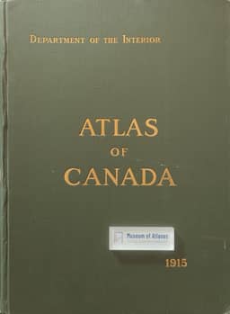
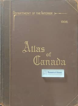
This paper reviews key developmental elements in the creation of the National Atlas of Canada. Early editions (1906 and 1915) were English-only, and by 1937 a new edition reflecting Canada's bilingual character was needed. In 1948, the federal government tasked the Geographical Branch of the Department of Mines and Technical Surveys with this project. Lacking prior records, it was essentially a new undertaking. An Atlas Committee, comprising representatives from major map-producing agencies, was formed to address broad issues: defining the atlas's purposes, determining physical specifications (sheet size and base scales), choosing between topical and regional organization, and deciding on bilingualism. Actual production rested solely with the Geographical Branch, covering compilation, layout, design, drafting, and liaison with printers.
Related Atlases
Comments
Loading...
0/2000