
Research reports of Fu-Min Geographical Institute of Economic Development
- Publication
- Geographical Review
- Volume
- 49
- Issue
- 4
- Pages
- 575-577
Taiwan
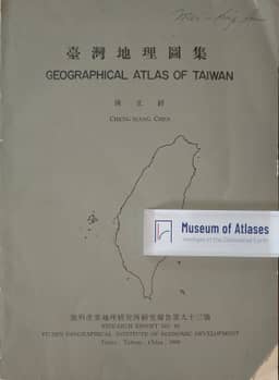
1959The article reports that The Atlas of Taiwan was to be issued as Research Report No. 72, after a popular edition appeared in early 1959. The final atlas was planned to contain about 175 color maps with Chinese and English legends, drawing largely on original research from the previous decade; the author judged its academic standard higher than that of the 1950 Atlas of Land Utilization in Taiwan. Some complex color maps were to be printed in Hong Kong, and the author expected the institute's efficiency and Chen Cheng-siang's determination to ensure completion.
View whole-article summary
This article reviews the development of the Fu-Min Geographical Institute of Economic Development in Taipei since its establishment in 1948. Initially affiliated with National Taiwan University as the Fu-Min Institute of Agricultural Geography, it became independent in 1951 and adopted its current name. The institute comprises five sections: Economic Geography, Regional Planning, Demographic Studies, Applied Climatology, and Cartography. Its research focus evolved through three phases: early agricultural geography, a middle period on population studies, and recent emphasis on urban social surveys and city planning. Having published nearly one hundred research reports, the institute's notable works include Dr. Cheng-siang Chen's "A Geography of Taiwan" and "The Atlas of Taiwan." Additionally, the institute has undertaken research commissions for international organizations and contributed to the formulation of Taipei's modern city plan.
Related Atlases
Comments
Loading...
0/2000