
Proposed national atlas of Canada
- Publication
- The Geographical Journal
- Volume
- 107
- Pages
- 167–168
Canada · Version 1
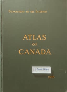
1906–1915As background to a new national atlas proposal, the article recalls the 1906 Atlas of Canada edited by James White and its revised, enlarged second edition. It describes the second edition as containing eighty pages of maps and numerous statistical diagrams covering relief, geology, minerals, population distribution and composition, railways, and boundaries. It gives the largest scale of the general maps as approximately 1:6.3 million and the scale of most regional maps as 1:2.2 million.
View whole-article summary
Canada was among the first countries to produce a national atlas, with its initial edition published in 1906 and a revised and enlarged second edition in 1916. This article outlines a plan for a new comprehensive atlas, based on a committee established by the Canadian Social Science Research Council in 1943. Drawing on expert consultations and analyses of other national atlases, the author proposes a content framework grounded in specialized research, emphasizing the need for government-academic cooperation. The paper also provides a systematic review of federal and provincial mapping agencies and existing cartographic resources, including hydrographic, geological, and topographical surveys, as well as the National Topographic Series, serving as a foundational reference for atlas compilation.
Related Atlases
Comments
Loading...
0/2000