
National and Regional Atlases as an Expression of National/Regional Identities: New Examples from Post-Communist Europe
- Publication
- The Cartographic Journal
- Volume
- 41
- Issue
- 2
- Pages
- 150-166
Croatia · Version 1
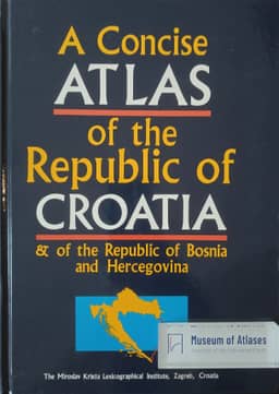
1993Peter Jordan examines the 1993 A Concise Atlas of the Republic of Croatia & of the Republic of Bosnia and Hercegovina as a preliminary national atlas presenting Croatian identity. He interprets its English-only publication by Zagreb’s state-owned Lexicographical Institute during wartime as an effort to address an international audience. State symbols, paired images of the current and 1848 parliaments, maps of border longevity, and seven historical maps emphasize traditions of statehood and self-government. Maps of Croats abroad portray Croatia as the homeland of a larger nation. Jordan criticizes the dialect maps for assigning the Ijekavian variant of Štokavian to Croatian and thereby incorporating all Bosnia and Hercegovina into a Croatian cultural sphere. He identifies historical continuity, a national community extending beyond state borders, and Croatian–Serbian antagonism as central to the atlas’s presentation, while noting its limited attention to Catholicism.
View whole-article summary
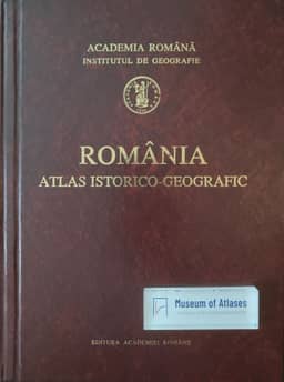
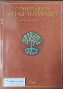
The article compares four national and regional atlases from post-communist Europe, examining how maps, images, and texts articulate national or regional identities. The National Atlas of Slovenia presents the country as an equal member of the international community, the centre of a nation extending beyond state borders, an old and early-industrialized cultural region, and a diverse landscape closely associated with the Alps. The 1993 concise atlas of Croatia and Bosnia and Herzegovina, intended for foreign audiences, invokes historical borders, institutional continuity, Croats abroad, and dialect geography to define Croatian statehood and cultural space; its classification of Štokavian reflects the contemporary Croatian–Serbian antagonism. The Atlas of Lower and Opole Silesia incorporates the region’s Polish, Bohemian, Habsburg, Prussian, and German pasts and documents post-1945 population exchange, constructing Silesian identity from multiple historical traditions, economic centrality, and its position at a Central European crossroads. Romania’s historical-geographical atlas reiterates the traditional narrative of national origins in Roman Dacia. Its use of nearly identical colours for Romanians and Hungarians obscures the latter’s spatial distribution, which the author interprets as evidence of the nation-state ideology prevailing in Romania during the 1990s.
Comments
Loading...
0/2000