
The second edition of the atlas of Finland: First article
La deuxième édition de l'Atlas de Finlande: premier article
- Publication
- Annales de Géographie
- Volume
- 22
- Issue
- 124
- Pages
- 310-325
Finland · Version 2
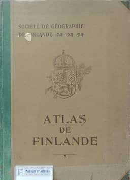
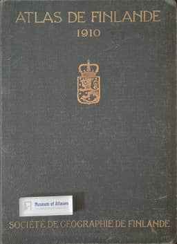
1911This first installment reviews the 1910 second edition of the Atlas de Finlande and its accompanying text, concentrating on physical geography and biogeography. The reviewer praises the increased number of maps, the threefold expansion of the text, new subjects such as oceanography and agricultural statistics, and the revision of existing chapters. He commends the collective work’s consistency while noting repetition and the lack of an integrated geographical synthesis. The general map has been corrected in the north, but he considers it still below modern standards because precise geodetic measurements are lacking. The substantive survey follows the atlas’s explanations of relief, glaciation, postglacial uplift, drainage, marine circulation and climate, then examines vegetation zones, forests, wetlands and animal distributions. Footnotes identify corrections to hydrological figures and terminology, and the reviewer cautions that forest and wetland statistics are approximate because their categories overlap.
View whole-article summary
This first review article examines the Geographical Society of Finland's Atlas de Finlande 1910, whose preface is dated May 1911, and its two accompanying text volumes. Compared with the 1899 Atlas de Finlande, the new collective edition increases the cartographic content, triples the text, adds oceanography and agrarian statistics, and expands or reorganizes existing subjects. The author praises its scientific quality and coherence, notes that northern mapping still lacks precise geodetic determinations, and calls for a compact geographical synthesis of its extensive monographs. Drawing on the atlas's maps and text and his own long residence in Finland, he summarizes its physical geography and biogeography. He discusses ancient bedrock, tectonic disruption, glacial erosion and deposits, and postglacial uplift as explanations of relief, lakes, coastal islands, and changing drainage. Methods described include De Geer's annual-layer measurements of glacial clay and mapping of equal uplift through former marine limits. The hydrographic account contrasts variable coastal rivers with lake-buffered systems; oceanographic sections present continuous observations begun in 1898 and explain circulation and salinity in the Baltic gulfs. Climate is discussed through seasonal temperature, winds, precipitation, and snow cover. The final sections examine plant and animal distribution limits, cultivation, forest succession, wetland formation, species origins, and postglacial relics.
Related Atlases
Comments
Loading...
0/2000