
Book reviews: Geographical-statistical atlas of Poland
Književne obznane: Geograficzno-statystyczny atlas Polski
- Publication
- Nastavni vjesnik
- Volume
- 30
- Issue
- 3-4
- Pages
- 168
Poland · Version 1
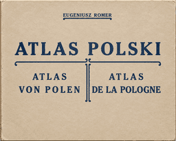
1916–1921A. Gavazzi reviews the 1921 second edition of Eugenjusz Romer's Geograficzno-statystyczny Atlas Polski. He dates the first edition to 1915 and describes its wartime purpose as presenting Poland's geography to Europe without regard to contemporary political boundaries. He regards Polish national unification as a justified goal now achieved. The second edition makes few changes beyond political boundaries and adds maps VII and IX. Produced by Freytag and Berndt in Vienna, it contains a 26-page introduction and 34 maps measuring 25.5 × 30 cm without frames; the preface appears in Polish, French and English. The maps use 1910 data, which Gavazzi hopes to compare with 1920–21 data when publicly available. Coverage includes relief, geology, climate, vegetation, history, administration in 1914 and 1920, population density and growth, Polish settlement, religion, large estates, land use, crops, animals, minerals, industry and industrial classes. He notes a new population-density method without explaining it. Lacking access to the underlying sources, he cannot verify all results but expresses confidence in Romer's conscientious work. He praises the multicolour printing and precise alignment with black outlines, judging the atlas successful in content and technical execution.
Comments
Loading...
0/2000