
Innovations in the national atlas
- Publication
- Tenth United Nations Regional Cartographic Conference for Asia and the Pacific. Volume 2: Technical Papers
- Pages
- 595–597
Australia · Version 2
1980–1990This Australian submission describes innovations in the third series of the Atlas of Australian Resources, then in production. It explains the move from separate map sheets and booklets to thin bound volumes combining maps, commentary, photographs and diagrams. Ten volumes were planned, with major maps also issued separately to make them available sooner. The account regards changes in content as especially important: Volume 1, Soils and Land Use, simplifies soil classifications for land-management interpretation and uses livestock-density classes, crop symbols and LANDSAT imagery to depict land use. Volume 3, Agriculture, largely reuses the 1975/76 statistical basis and spatial interpretation of the land-use map to present agriculture in the mid-1970s. For Volume 2, Population, the submission credits computer-assisted mapping of census data for 11 major cities with improving accuracy and reducing production time. Work in progress included a geological map distinguishing areas covered by Cainozoic deposits and a satellite-supported map of present vegetation; the vegetation project also planned a multipurpose mapping database.
View whole-article summary
Among the various new features of the third edition of the Atlas of Australian Resources, currently in preparation, are a more practical presentation in bound volumes; an interpretive soil map; more detailed information on agriculture; the use of satellite imagery to compile land-use surveys and vegetation maps; the use of automated graphic techniques to produce statistical maps; and the establishment of a multipurpose database during data collection.
Related Atlases
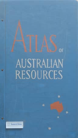
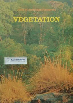
Atlas of Australian Resources, Third Series. Volume 6, Vegetation
Australia · 1990
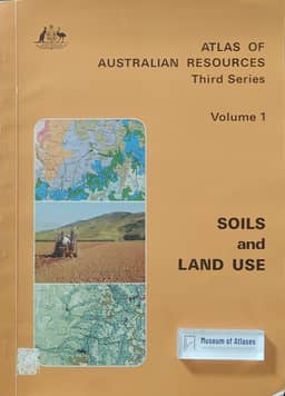
Atlas of Australian Resources, Third Series. Volume 1, Soils and Land Use
Australia · 1980
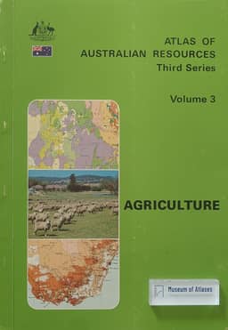
Atlas of Australian Resources, Third Series. Volume 3, Agriculture
Australia · 1982
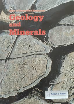
Atlas of Australian Resources, Third Series. Volume 5, Geology and Minerals
Australia · 1988
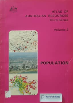
Atlas of Australian Resources, Third Series. Volume 2, Population
Australia · 1980
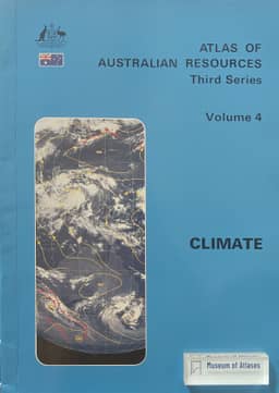
Atlas of Australian Resources, Third Series. Volume 4, Climate
Australia · 1986
Comments
Loading...
0/2000