
Innovations in the national atlas
- Publication
- Tenth United Nations Regional Cartographic Conference for Asia and the Pacific. Volume 2: Technical Papers
- Pages
- 595–597
Australia · Version 1
1960–1977Australia’s account of innovations in the third series describes the second series of the Atlas of Australian Resources (1963–1977) as 30 large colour map sheets, each with a small black-and-white commentary booklet, available unfolded, mounted for a loose-leaf binder, or folded for a boxed set. In comparing land-use mapping, the account explains that the second series’ 1970 map chiefly distinguished the dominant grazing livestock and intensive versus extensive production, using a calculation it describes as complicated to identify areas where cropping was economically predominant or co-dominant. Both that map and its third-series successor used detailed statistics for small areas.
View whole-article summary
Among the various new features of the third edition of the Atlas of Australian Resources, currently in preparation, are a more practical presentation in bound volumes; an interpretive soil map; more detailed information on agriculture; the use of satellite imagery to compile land-use surveys and vegetation maps; the use of automated graphic techniques to produce statistical maps; and the establishment of a multipurpose database during data collection.
Related Atlases
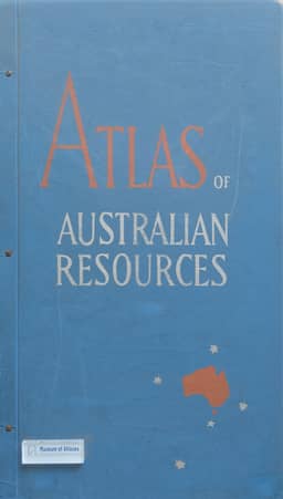
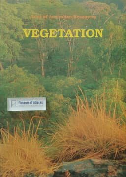
Atlas of Australian Resources, Third Series. Volume 6, Vegetation
Australia · 1990
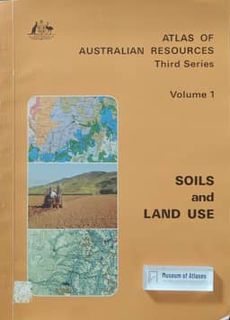
Atlas of Australian Resources, Third Series. Volume 1, Soils and Land Use
Australia · 1980
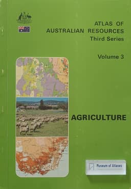
Atlas of Australian Resources, Third Series. Volume 3, Agriculture
Australia · 1982
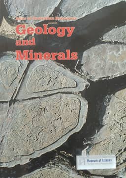
Atlas of Australian Resources, Third Series. Volume 5, Geology and Minerals
Australia · 1988
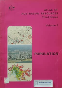
Atlas of Australian Resources, Third Series. Volume 2, Population
Australia · 1980
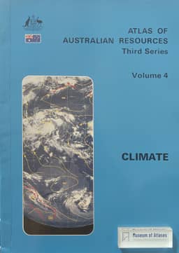
Atlas of Australian Resources, Third Series. Volume 4, Climate
Australia · 1986
Comments
Loading...
0/2000