
Annotated bibliography: National atlas of China
文献解題: National Atlas of China
- Publication
- 人文地理
- Volume
- 16
- Issue
- 2
- Pages
- 222-223
China · Version 2
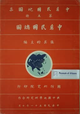
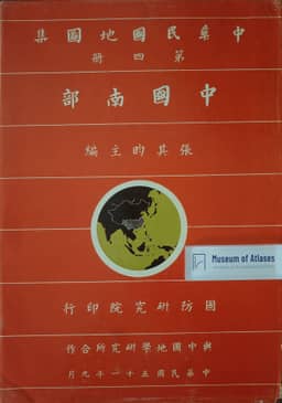
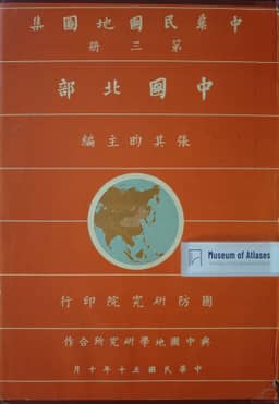
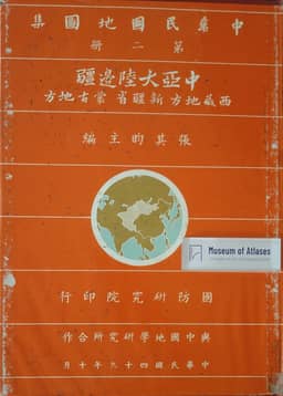
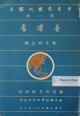
1960–1967This bibliographic review by Funakoshi Akio treats the five-volume National Atlas of China edited by Chang Chi-yan (Taipei, 1960–1963, 162 maps) as a set. It sets out the division of the volumes: Taiwan in Vol. I; the Central Asian continental borderlands in Vol. II; North China (Northeast, North, Northwest) in Vol. III; South China (Central, South, Southwest) in Vol. IV; general maps of China in Vol. V. The projection is Lambert conformal; Vol. V uses mainly 1:13,000,000 and 1:17,500,000, Vols III and IV take 1:2,000,000 as the base for China proper, with Yunnan and the southwest at 1:2,500,000 and Hainan at 1:4,000,000, Vol. I uses 1:200,000 and 1:100,000, and Vol. II varies by region. Vols V, I and II combine political-division and relief maps with industry and climate maps, while Vols III and IV on China proper reduce the content to political divisions and relief, with inset maps of major cities. Administrative divisions follow the 1947 promulgation with some revisions; place names carry Wade-Giles romanization, and every volume except Vol. V ends with alphabetical and stroke-count indexes. The reviewer is reserved about the cartographic technique itself, judging that it does not surpass the 1934 中華民国新地図 edited by Ting Wen-chiang, Weng Wen-hao and Tseng Shih-ying for the Shenbao jubilee; he notes at the same time that Vol. V adds soil, forest and vegetation maps, that borderland material is richer, and that the large-scale Taiwan maps make physical, human and economic conditions easy to survey, which he reads as showing the postwar development of Chinese geographical research. He also observes that the bibliographies at the front of each volume omit recent work by mainland geographers.
View whole-article summary
This bibliographic review assesses the National Atlas of China, edited by Dr. Chang Chi-yun and published in five volumes in Taipei between 1960 and 1963. It details the contents of each volume, the use of the Lambert conformal projection, principal scales, and the administrative divisions based on the 1947 promulgation, with place names romanized in the Wade-Giles system. The reviewer contends that while the atlas does not surpass the 1934 'New Atlas of the Republic of China' by Ting, Weng, and Zeng in cartographic technique, it adds valuable soil, forest, and vegetation distribution maps, enriches frontier data, and facilitates an overview of Taiwan's physical, human, and economic geography through large-scale maps, reflecting post-WWII developments in Chinese geographical research.
Related Atlases
Comments
Loading...
0/2000