
Annotated bibliography: National atlas of China
文献解題: National Atlas of China
- Publication
- 人文地理
- Volume
- 16
- Issue
- 2
- Pages
- 222-223
Taiwan
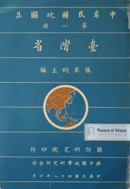
1959This review article examines Chang Chi-yan and others' five-volume National Atlas of China, identifying the first volume as Taiwan. The reviewer notes that this volume uses 1:200,000 and 1:100,000 as its base scales, unlike the other volumes, and includes political-boundary and topographic maps together with industry, climate and other thematic maps. Place names carry Wade-Giles romanization, and the volume ends with alphabetical and stroke-order indexes. The reviewer judges that the atlas's cartographic technique does not surpass the 1934 New Atlas of China, but that the large-scale maps of Taiwan make it easier to survey the island's physical, human and economic geography.
View whole-article summary
This bibliographic review assesses the National Atlas of China, edited by Dr. Chang Chi-yun and published in five volumes in Taipei between 1960 and 1963. It details the contents of each volume, the use of the Lambert conformal projection, principal scales, and the administrative divisions based on the 1947 promulgation, with place names romanized in the Wade-Giles system. The reviewer contends that while the atlas does not surpass the 1934 'New Atlas of the Republic of China' by Ting, Weng, and Zeng in cartographic technique, it adds valuable soil, forest, and vegetation distribution maps, enriches frontier data, and facilitates an overview of Taiwan's physical, human, and economic geography through large-scale maps, reflecting post-WWII developments in Chinese geographical research.
Related Atlases
Comments
Loading...
0/2000