
National atlases
Atlasy narodowe
- Publication
- Przegląd Geodezyjny
- Volume
- 15
- Issue
- 1
- Pages
- 8-11
Poland · Version 2
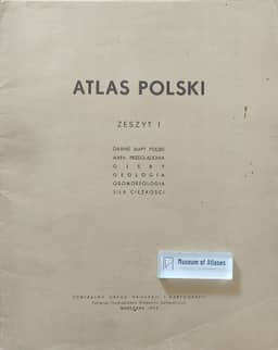
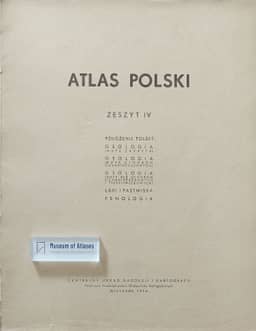
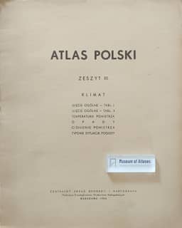
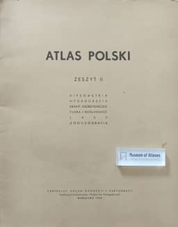
1953–1956Stefan Zmuda traces the planning, publication and interruption of Atlas Polski. Work began in 1948, with completion intended for 1953. The planned atlas used a 42 × 39 cm format, a principal scale of 1:2,000,000 and the Albers projection, with eight thematic divisions covering physical geography, population, agriculture and forestry, industry, transport and administration. Delays led to publication in fascicles. Four appeared in 1953–1956: the first covered historical maps and selected physical themes; the second, relief, water, vegetation and fauna; the third, climate; and the fourth, Poland’s location, geology, meadows and pastures, and phenology. Zmuda reports that work stopped after these four fascicles. He judges the published selection insufficient to complete coherent thematic groups, reducing its scientific value, and considers the climate material too extensive for a national synthesis. He also criticizes the combination of meadows and pastures with physiographic regions. In his assessment, the ambitious project failed to fulfil its organizers’ hopes. He calls for its resumption, or for a new national atlas, in connection with Poland’s approaching millennium.
View whole-article summary
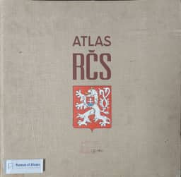
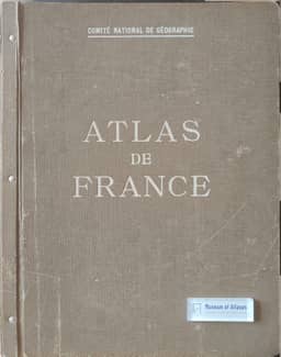
National atlases present a comprehensive, scientifically considered synthesis of knowledge about a given country, which, under the current system of national economic planning, constitutes an essential basis for preliminary considerations of the economic problems of respective countries. This article first explains the significance and characteristics of national atlases, then, using the atlases of France, Sweden, Czechoslovakia, the USSR, and Scotland as examples, provides a detailed account of their editorial bodies, formats, content structure, scale systems, cartographic methods, and publication status, evaluating their respective strengths and weaknesses. The latter part of the article focuses on reviewing the compilation history of the Polish National Atlas (Atlas Polski), a project undertaken by the Polish State Cartographic and Publishing Enterprise (PPWK), originally planned for publication in fascicles and covering physiographic, human, and economic topics. However, the project was discontinued after the publication of only four fascicles (including map sets on geology, geomorphology, soils, hydrography, climate, and biogeography), and the project for the General World Atlas (Atlas Powszechny) was also completely abandoned. The article analyzes the reasons for the project's failure, concluding that a lack of cooperation and support from external factors was the main cause of the cessation of these publications, a setback that severely damaged the prestige of Polish cartography. Finally, the author calls for the resumption or restart of the national atlas project on the occasion of Poland's millennium, framing it as a paramount task for Polish cartography to comprehensively present the country's achievements and meet the diverse needs of education, science, and socio-economic planning, emphasizing that national atlases are the best medium for disseminating knowledge about a country to the world.
Related Atlases
Comments
Loading...
0/2000