
National atlases
Atlasy narodowe
- Publication
- Przegląd Geodezyjny
- Volume
- 15
- Issue
- 1
- Pages
- 8-11
Sweden · Version 1
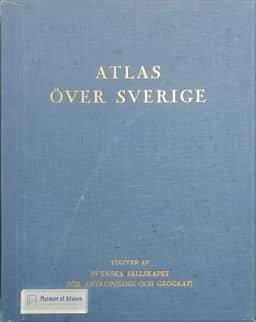
1971Stefan Zmuda describes Atlas över Sverige, issued by the Swedish Society for Anthropology and Geography, while it was still being compiled. He reports that about 30 fascicles had appeared since the first in 1944, with roughly half the content still outstanding. The planned atlas would contain approximately 1,000 maps at scales from 1:2,000,000 to 1:12,000,000, organized into 14 thematic chapters covering the natural environment, population, economic and social conditions, culture, politics and history. Separate specialist editorial teams prepared each subject, combining maps with explanatory and analytical text, statistical tables, charts and photographs. Zmuda highlights the attention to cartographic accuracy and graphic design and judges the available material to be a clear, professionally and objectively presented concentration of facts suitable for detailed study of everyday issues.
View whole-article summary
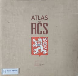
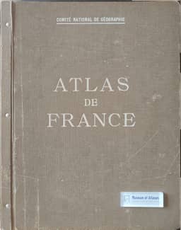
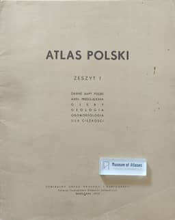
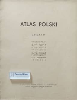
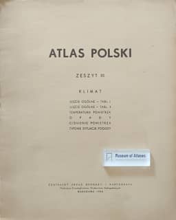
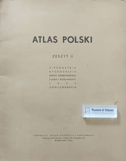
National atlases present a comprehensive, scientifically considered synthesis of knowledge about a given country, which, under the current system of national economic planning, constitutes an essential basis for preliminary considerations of the economic problems of respective countries. This article first explains the significance and characteristics of national atlases, then, using the atlases of France, Sweden, Czechoslovakia, the USSR, and Scotland as examples, provides a detailed account of their editorial bodies, formats, content structure, scale systems, cartographic methods, and publication status, evaluating their respective strengths and weaknesses. The latter part of the article focuses on reviewing the compilation history of the Polish National Atlas (Atlas Polski), a project undertaken by the Polish State Cartographic and Publishing Enterprise (PPWK), originally planned for publication in fascicles and covering physiographic, human, and economic topics. However, the project was discontinued after the publication of only four fascicles (including map sets on geology, geomorphology, soils, hydrography, climate, and biogeography), and the project for the General World Atlas (Atlas Powszechny) was also completely abandoned. The article analyzes the reasons for the project's failure, concluding that a lack of cooperation and support from external factors was the main cause of the cessation of these publications, a setback that severely damaged the prestige of Polish cartography. Finally, the author calls for the resumption or restart of the national atlas project on the occasion of Poland's millennium, framing it as a paramount task for Polish cartography to comprehensively present the country's achievements and meet the diverse needs of education, science, and socio-economic planning, emphasizing that national atlases are the best medium for disseminating knowledge about a country to the world.
Related Atlases
Comments
Loading...
0/2000