
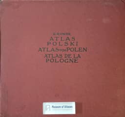
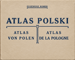
Atlases and general maps of Poland: Geographical-statistical atlas of Poland
Atlasy i mapy ogólne Polski: Geograficzno-statystyczny atlas Polski
- Publication
- Polski Przegląd Kartograficzny
- Volume
- 1
- Issue
- 5
- Pages
- 207-208
Poland · Version 1
1916–1921St. Pawłowski reviews the 1921 second edition of the Geographical-Statistical Atlas of Poland, comparing it with the first edition. Both cover Poland within its 1772 borders, including Upper Silesia and East Prussia but excluding Spisz and Orawa, and use the same scientific sources and isarithmic method to depict demographic and economic conditions. Pawłowski praises this method for conveying broad geographical patterns beyond administrative divisions. The atlas contains 34 main maps, 41 smaller maps, six diagrams and drawings, and 78 columns of explanatory text; the publisher produced over 90% of the maps and explanations. The second edition adds an administrative map showing treaty-established and provisional boundaries in 1920 and a map of Polish population distribution based on materials from 1914–1919. Pawłowski finds the latter broadly consistent with the first edition’s isarithmic map, except for an unexpectedly large Polish population in the northeast. He praises the maps’ clarity, colouring and production, and expects the replacement of German explanations with English to extend readership in the Anglo-American world. An accompanying excerpt from Robert H. Lord praises the atlas’s treatment of the Polish political problem and reports that the Central Empires attempted to prevent its circulation across their frontiers.
Related Atlases
Comments
Loading...
0/2000