
Atlas of Canada
- Publication
- The History of Cartography, Volume 6: Cartography in the Twentieth Century
- Volume
- 6
- Pages
- 116–117
Canada · Version 3
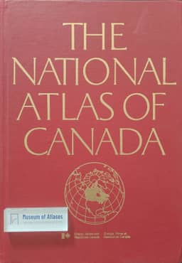
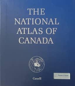
1974George Falconer describes the fourth edition of the National Atlas of Canada as shaped more by the cultural significance of a national atlas than by its informational value. Its 127 sheets covered many themes, with a basic scale of 1:15,000,000 chosen for convenience and portability. Maps appeared in special loose folios from 1970 to 1974 and in boxed form in 1973; the revised, bound English and French editions were jointly published in 1974 by Energy, Mines and Resources Canada, Information Canada, and Macmillan of Canada.
View whole-article summary
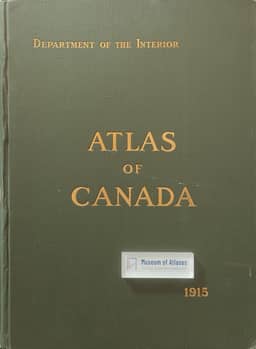
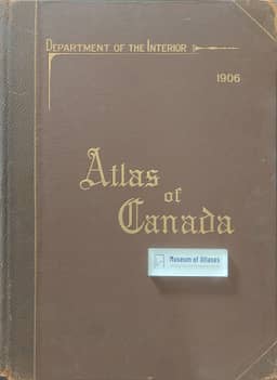
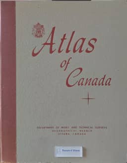
This article traces the century-long development of the Atlas of Canada from its first publication in 1906 to its mature online form in the early twenty-first century. Drawing on publication histories, it compares successive editions in terms of responsible institutions, map scales, thematic coverage, formats, and intended users. The first four editions progressively broadened their treatment of national development and cultural identity through printed maps. Amid organizational restructuring, fiscal constraint, and rapid computerization, the fifth edition shifted toward a digital national atlas information system. Launched in 1999 and substantially renewed in 2006, the sixth edition became a web-based platform for educators and the public, offering more than 600 interactive thematic layers, over 1,450 maps, and nationwide topographic and toponymic information. This evolution demonstrates the transformation of a national atlas into a user-centered, collaborative geographic information service.
Related Atlases
Comments
Loading...
0/2000