
National and regional atlases: Turkey
Atlas nationaux et régionaux : la Turquie
- Publication
- Méditerranée
- Volume
- 70
- Pages
- 75-76
Türkiye · Version 2
1977M. Bazin criticizes the 1977 Yeni Türkiye Atlası, published by the military cartographic service, for its limited thematic coverage of Turkey and numerous cartographic and factual shortcomings. Turkish thematic maps occupy only 49 of its 172 pages, between world maps and a section containing the complete 1:500,000 topographic map series and its index. Bazin finds the thematic balance unsatisfactory: climate receives 19 pages, while population distribution has only one map. He nevertheless considers the topographic section very useful for foreign readers, despite some errors, and points to a critical booklet by two Ankara academics as a practical guide to using the atlas.
View whole-article summary
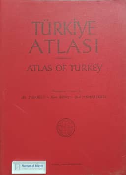
This article reviews the development of national and regional atlases in Turkey. The tradition began in the 1930s with Faik Sabri Duran's Grand World Atlas, but the 1961 Atlas of Turkey, though ambitious, was quickly outdated due to obsolete data (e.g., population based on the 1935 census). The 1977 New Atlas of Turkey, published by the military, disappointed scholars due to limited thematic coverage, uneven content, and factual errors. Subsequently, Turkish geographers turned to scattered high-quality publications, such as maps in the Tübingen Atlas of the Middle East. The article concludes that Turkey's administrative structure, lacking intermediate levels, hinders regional atlas production, making regional synthesis manuals a more likely path forward.
Related Atlases

Comments
Loading...
0/2000