
Recently published foreign atlases (1960–1963)
Atlanti stranieri di recente pubblicazione (1960–1963)
- Publication
- Bollettino della Società Geografica Italiana
- Volume
- 5
- Pages
- 68–103
Armenia · Version 1
1961Riccardo Riccardi reviews the Russian-language edition of the 1961 Atlas of the Armenian SSR, noting that an Armenian edition was also published under the auspices of the Armenian Academy of Sciences. He judges the atlas very good in every respect. It contains about 100 maps, mainly at scales of 1:1,000,000, 1:1,500,000 and 1:2,000,000. He particularly praises the shaded relief of the republic, the detailed geomorphological map, and the 48 climate maps with their numerous diagrams. He also notes the exclusion of Nakhichevan from its territorial coverage. Riccardi highlights maps of Armenian distribution in 1914 and 1926, reading their contrast in relation to the deportations and massacres of 1915–1918 and subsequent conflicts. He also draws attention to the 1959 map of Armenians outside the republic and plans documenting Yerevan’s growth. He finds the economic maps clear and comprehensive, covering industrial achievements, agriculture, and planned irrigation and hydroelectric use of Lake Sevan. The atlas concludes with Armenian history from Urartu onward, a prehistoric map, and reproductions of early maps depicting Armenia.
View whole-article summary
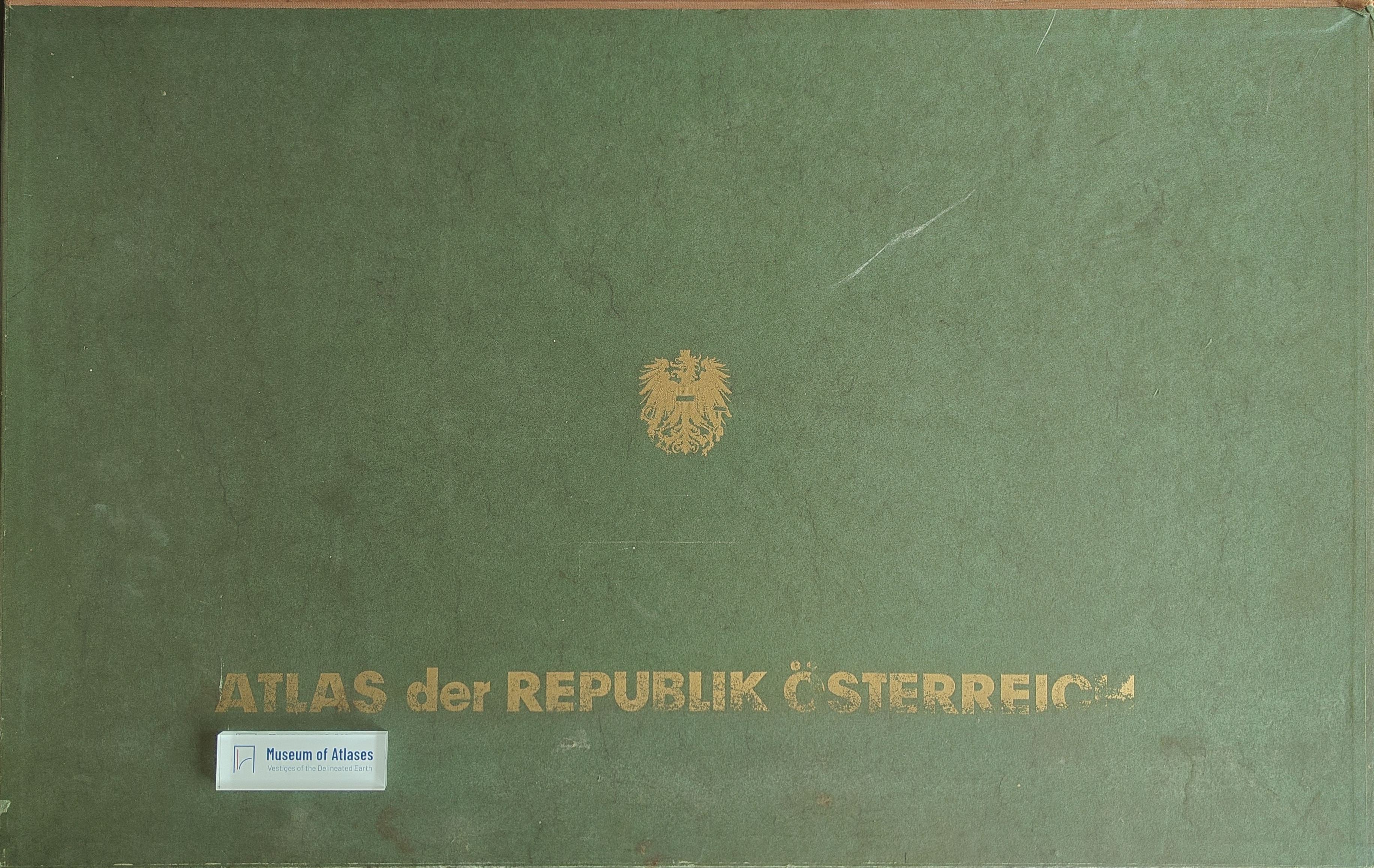
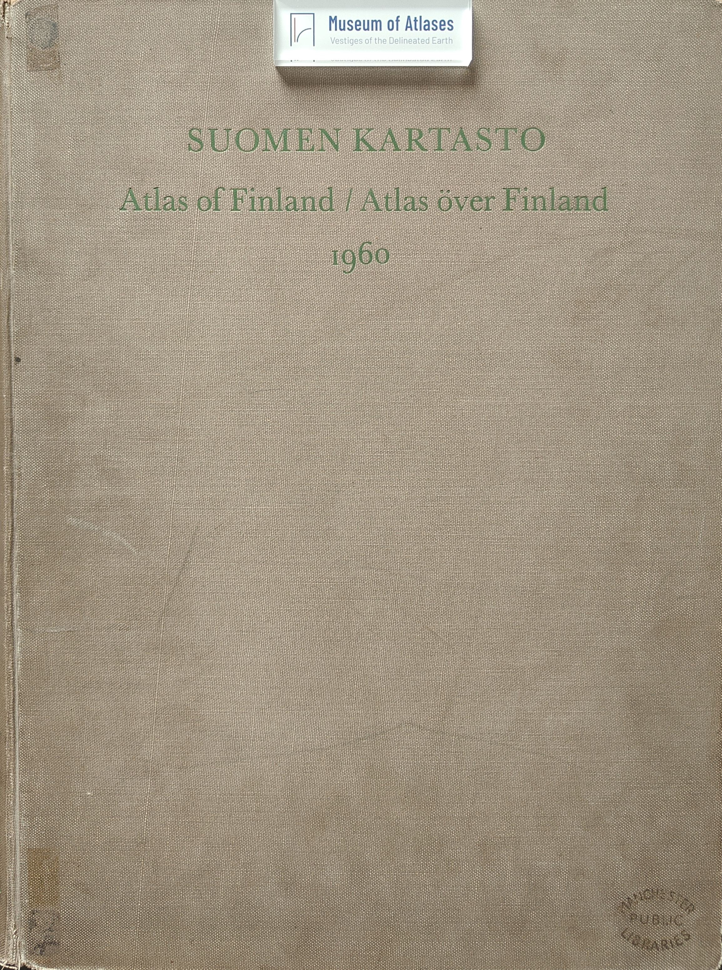
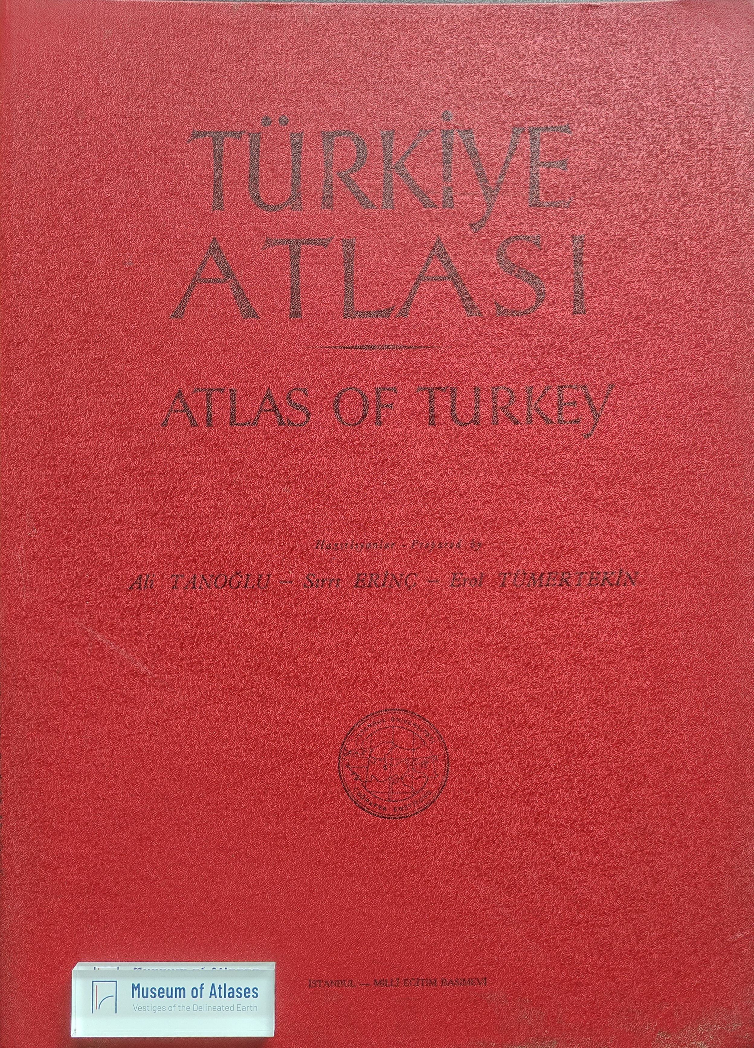
This article critically reviews twenty-one foreign atlases published between 1960 and 1963, including national atlases, general reference works, school atlases intended especially for secondary and higher education, a compact economic atlas, and a historical atlas. For each publication, the author identifies its principal editorial and cartographic features and assesses its strengths and weaknesses according to the quality and currency of its sources, the selection and balance of themes, the arrangement of scales, methods of statistical and thematic representation, technical execution, visual clarity, and educational usefulness. Among the national atlases, the fourth edition of the Atlas of Finland receives particularly strong praise. Its maps were extensively revised or newly prepared, its plate space was used efficiently, and its treatment of physical, demographic, agricultural, forestry, industrial, transport, and historical geography achieved a notable degree of balance. It is consequently presented as one of the finest contemporary works of its kind. The national atlas of South Africa, by contrast, is recognized for the abundance of its demographic, agricultural, and livestock information, but criticized for serious disproportion among sections, excessive reliance on statistical mapping, schematic presentation, limited use of colour, and inadequate climatic, hydrological, geophysical, and synthetic economic coverage. Discussions of atlases concerning Austria, Turkey, Armenia, and other countries similarly examine how effectively physical, human, historical, and economic geography are integrated. The survey also compares several reference and educational atlases. Particular attention is paid to the geographical balance of world coverage, the legibility of relief representation, the use of colour and conventional symbols, and the capacity of maps, diagrams, profiles, landscape drawings, historical plates, and aerial photographs to support teaching. A Japanese school atlas is commended for its exceptionally extensive treatment of Japan, refined printing, delicate but effective colour schemes, detailed thematic maps, and varied visual materials, although its pale contours and altitude tints reduce the plasticity of the terrain. The Gotha pocket economic atlas is valued for its statistical richness, careful selection of information, and sound production, yet its synthetic economic maps can become difficult to read where numerous colours and symbols coincide. The revised Putzger Historical World Atlas incorporates recent historical research, new pedagogical approaches, and advances in cartographic technique. It strengthens cultural, settlement, and economic history and devotes substantial space to the post-1500 period. While approving additions such as maps of Attica, Asia Minor, the Roman economy, medieval towns and universities, revolutionary France, railway development, and linguistic patterns, the author regrets the removal of several useful prehistoric and ancient maps. Overall, the article functions both as a bibliographical survey and as a comparative statement of cartographic standards, arguing that a successful atlas must reconcile up-to-date documentation, thematic balance, sound geographical foundations, technical precision, readability, and the needs of its intended audience.
Related Atlases

Comments
Loading...
0/2000