
Background, conception, and development of the "New national atlas of Cuba"
Antecedentes, Concepción, y Desarrollo del "Nuevo Atlas Nacional de Cuba"
- Publication
- Yearbook. Conference of Latin Americanist Geographers
- Volume
- 15
- Pages
- 107-109
Cuba · Version 4
1989The editors recount the preparation of the Nuevo atlas nacional de Cuba from its initiation in 1983 to completion on 1 January 1989, involving approximately 150 institutions and 1,500 specialists. They explain that new research needs shaped the project, while a matrix model coordinated relationships among maps. Map content and representation methods were defined by early 1985; section-level expert councils subsequently reviewed and openly voted on maps and texts before preparation of publication originals began in 1986. According to the editors, the expanding research programme led them to incorporate the atlas into the development of Cuba’s geographic information system, SIG-Cuba, alongside work on automated cartography, software and specialist training. Interchangeable fascicles were chosen to permit partial updating and separate or comparative use of maps. The completed atlas contains 210 sheets, approximately 59 × 52 cm, with colour maps, explanatory texts, indexes and a bibliography; whole-country maps generally range from 1:1,000,000 to 1:4,000,000. The editors identify the established SIG-Cuba and subsequent regional atlases and geographical studies as outcomes of the compilation experience.
View whole-article summary
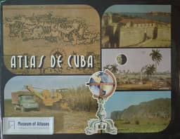
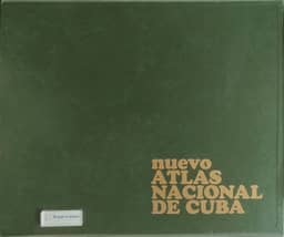
The new National Atlas of Cuba represents a major advancement in the geography and cartography of Cuba. The country's own socio-economic development rendered the first National Atlas of Cuba, published in 1970, obsolete. Consequently, in 1983, the process of producing a new edition began. With the work and participation of nearly 150 institutions and 1,500 specialists, and under the direction of the Institute of Geography of the Academy of Sciences of Cuba and the Cuban Institute of Geodesy and Cartography, the new edition was published in January 1989. The atlas comprises 210 map and text sheets divided into 18 thematic sections. The atlas format measures 59 × 52 cm and presents the entire country at cartographic scales ranging from 1:1,000,000 to 1:4,000,000. The fruits of the atlas are already evident not only in its practical utility, but also in the Geographic Information System (SIG-Cuba) and in other new works arising from this experience.
Related Atlases

Comments
Loading...
0/2000