
Antarctic Map Folio Series
- Publication
- Antarctic Journal of the United States
- Volume
- 7
- Issue
- 5
- Pages
- 214-215
Antarctic Map Folio Series · Version 1
1964–1975Vivian C. Bushnell reports on the American Geographical Society's Antarctic Map Folio Series, planned as about 20 thematic folios summarizing current knowledge of Antarctica. Fifteen were in print; two more were scheduled for late 1972 and another for early 1973. Folio 16, Morphology of the Earth in the Antarctic and Subantarctic, combines sea-floor maps compiled by Bruce C. Heezen and Marie Tharp with Antarctic subglacial topography supplied by Charles R. Bentley. Its plates include bathymetry, the soundings used to draw contours, physiographic and tectonic provinces, bottom profiles, and the traverse and flight lines used to obtain subglacial soundings. Folio 17, called Marine Sediments of the Antarctic and Subantarctic in the report, brings together Grant Goodell's maps of surface sediments, collection sites and ferromanganese deposits, plus sea-floor photographs; sediment isopachs compiled by R. Houtz, M. Ewing, D. Hayes and B. Naini; fossil foraminifera maps by James Kennett and Ronald Echols; and fossil diatom maps by Jessie Donahue. Folios 18 and 19 were planned to cover Antarctic marine mammals and the history of Antarctic exploration and scientific investigation, respectively.
Related Atlases
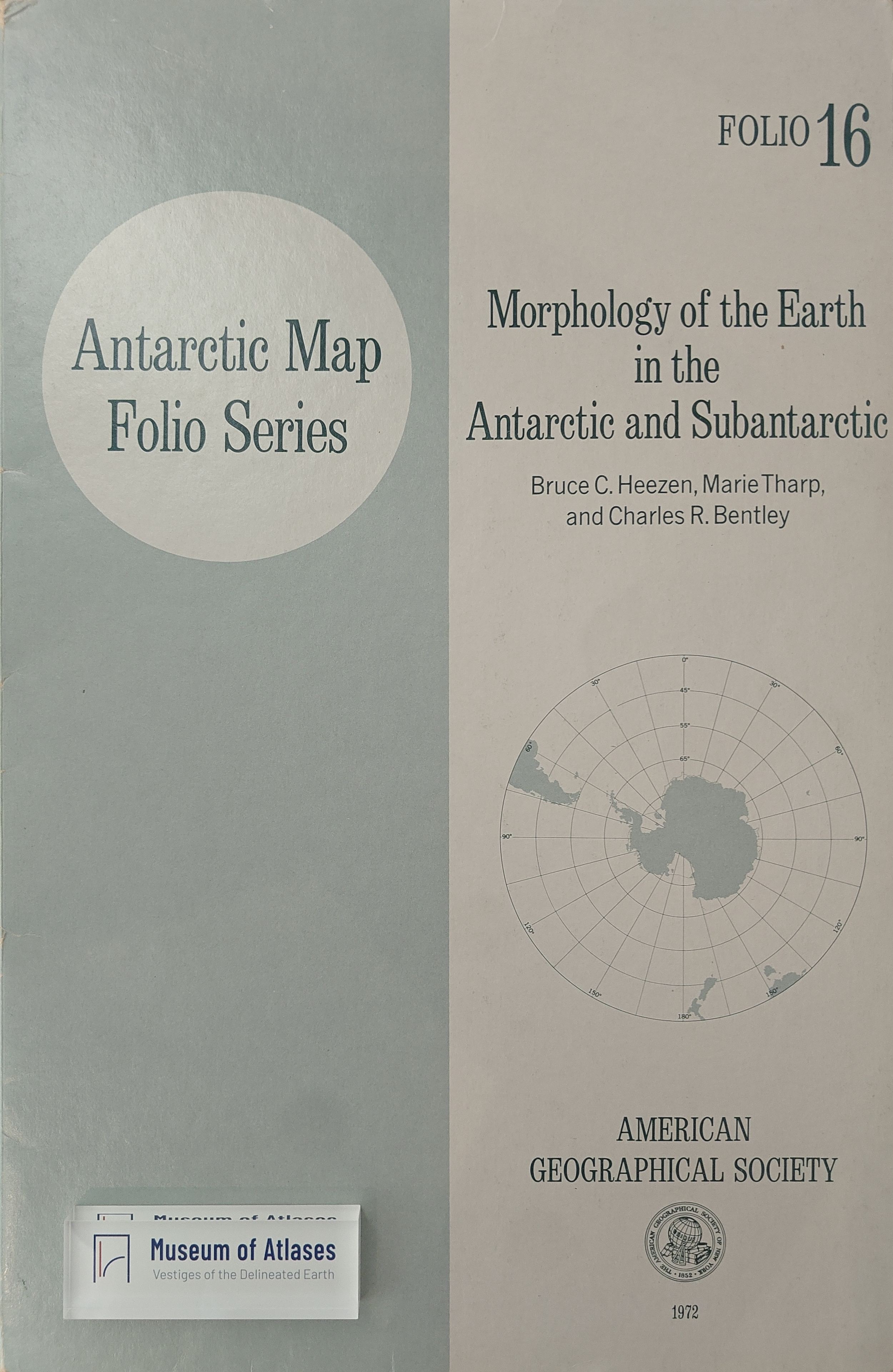
Antarctic Map Folio Series, Vol. 16: Morphology of the Earth in the Antarctic and Subantarctic
· 1972
Antarctic Map Folio Series, Vol. 17: Marine Sediments of the Southern Oceans
· 1973
Antarctic Map Folio Series, Vol. 18: Antarctic Mammals
· 1974
Antarctic Map Folio Series, Vol. 19: History of Antarctic Exploration and Scientific Investigation
· 1975
Comments
Loading...
0/2000