
Antarctic Map Folio Series
- Publication
- Antarctic Journal of the United States
- Volume
- 4
- Issue
- 5
- Pages
- 233-234
Antarctic Map Folio Series · Version 1
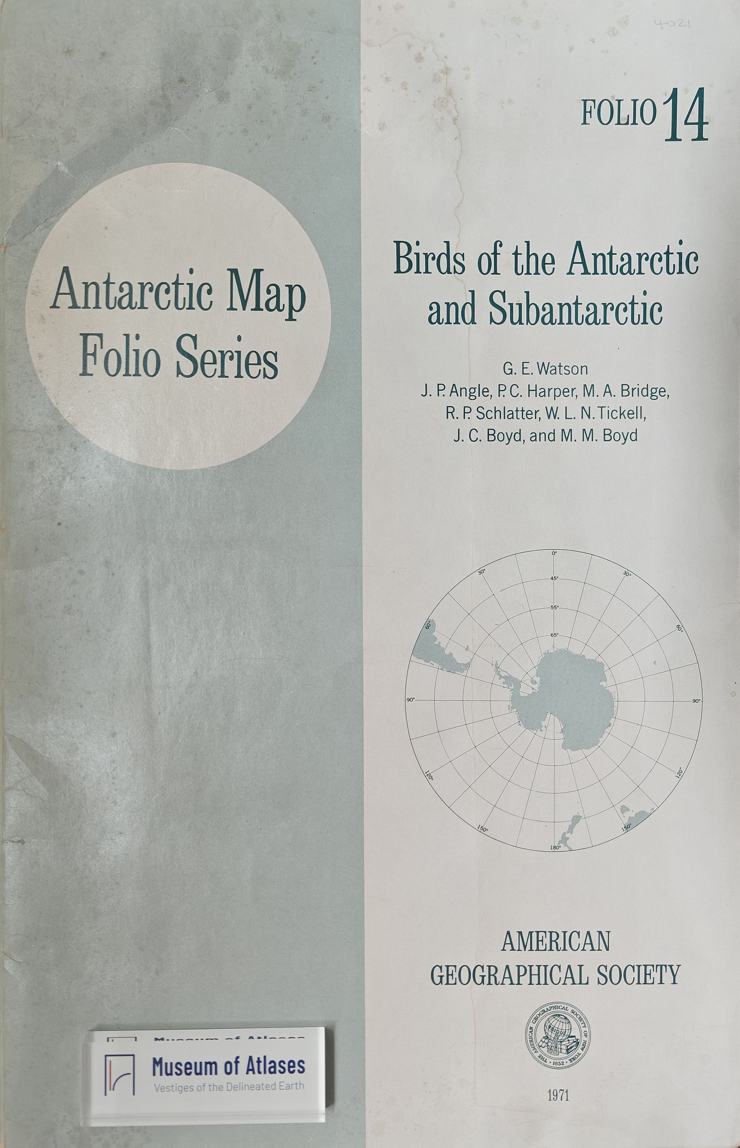
1964–1975Vivian C. Bushnell reports on the three Antarctic Map Folio Series folios nearest completion among five undergoing cartographic and editorial work. The Antarctic bedrock-geology folio, scheduled for publication before year-end, contains 18 regional maps at 1:1,000,000 with accompanying texts, compiled by 24 geologists from eight nations specializing in the areas mapped. Campbell Craddock contributed a continent-wide geological map and explanatory text, and Robert Nichols mapped and described widespread geomorphic features. Bushnell calls the folio an important achievement in compilation and cartography. The forthcoming Circumpolar Characteristics of Antarctic Waters, by Arnold L. Gordon, Robert D. Goldberg and Kenneth Hunkins, extends coverage to all surrounding ocean areas northward to 40°S. Its plates distinguish observation stations by historical period and present temperature, salinity and oxygen through depth-specific isolines, averages for 5° × 10° areas, and vertical meridional sections, alongside summer and winter sound velocities along the SOFAR-channel axis. The bird folio plots sightings, specimen records and known breeding localities for about 50 species. Its mapping data were assembled from extensive published and unpublished records under George Watson’s supervision, with William J. L. Sladen assisting in planning.
Related Atlases
Comments
Loading...
0/2000