
Presentation of the “Atlas of Finland”
Vorlage des ,,Atlas von Finland“
- Publication
- Verhandlungen des siebenten Internationalen Geographen-Kongresses
- Pages
- 812-815
Finland · Version 1
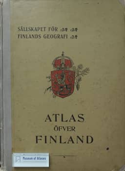
1899E. Neovius presents the Atlas of Finland (Atlas öfver Finland) and explains its compilation by the Finnish geographical society, founded in 1888. The society brought together material held by scientific and state institutions to portray the country’s geography and cultural conditions. Maps prepared for the Sixth International Geographical Congress in London were thoroughly revised and supplemented with new maps for publication, with contributions from numerous scientists. Neovius highlights the new base map, an elevation map correcting the notion of mountain ridges crossing the entire country, coastal clay and inland moraine deposits, and climatic patterns associated with the ocean, prevailing winds, gulfs and Lake Ladoga. He gives particular attention to population charts spanning 140 years, discussing marriage rates, sex ratios and mortality during wars, epidemics and crop failures, including the severe losses of 1867–1868. Other sheets cover vegetation, rural schools, agriculture, waterpower, industry, exports, communications, prehistoric finds and political boundaries. An accompanying text explains the maps and develops geographical, historical and statistical commentary; atlas and text form part of Fennia. Neovius reports plans to distribute both in Finnish and Swedish, reaching elementary schools with Senate and private support, and presents the society’s view that intensive study of the home country supports geographical research generally.
Related Atlases
Comments
Loading...
0/2000