
The Resources Information and Development Branch, Department of National Development, Canberra
- Publication
- Australian Geographical Record
- Volume
- 4
- Pages
- 18-19
Australia · Version 1
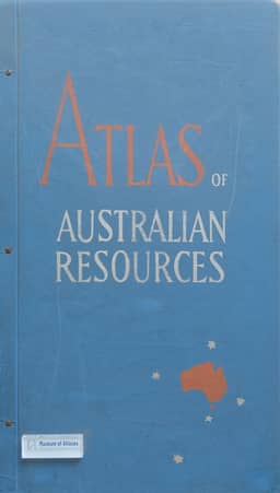
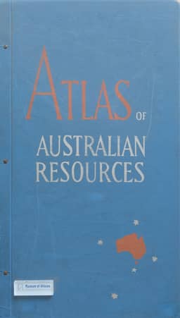
1960–1977The Branch’s account reports that its geographers prepared the thirty map sheets of the Atlas of Australian Resources, with the final five sheets of the First Series published in September 1960. A Second Series programme began in mid-1961, with plans to replace the existing sheets and accompanying commentary booklets progressively at three new sheets per year. Most maps were to revise existing sheets, while some topics would be replaced. The base maps had already been recompiled on a simple conic projection with two standard parallels. Planned formats retained a single Australia map at 1:6,000,000 or several smaller-scale maps, and introduced a sheet depicting the more densely settled areas in two maps at 1:4,500,000.
View whole-article summary
This article describes the organization, staffing, and main functions of the Resources Information and Development Branch within the Department of National Development, Australia. The Branch is responsible for resources investigation and development, with core activities including the compilation of the Atlas of Australian Resources, regional resource studies (e.g., the Fitzroy region map series in Queensland), the compilation of the 'Index to Australian Resources Maps of 1940-59', and the biennial publication of 'Major Development Projects: Australia'. The article also notes staffing difficulties and the temporary employment of geography students during university vacations. The Branch's work provides essential baseline information for resource planning and development in Australia.
Related Atlases
Comments
Loading...
0/2000