
The potential of a national atlas as integral part of the spatial data infrastructure exemplified by the new Dutch national atlas
- Publication
- SDI Convergence. Research, Emerging Trends, and Critical Assessment
- Pages
- 9–20
Netherlands · Version 1
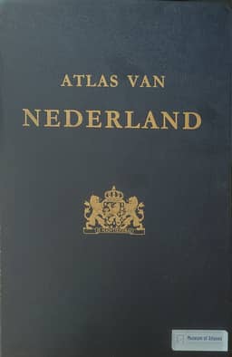
1981In their historical account, the authors describe the second edition of Atlas van Nederland as centred on the country's inhabitants, selecting scientific themes for their relevance to how people supported themselves; examples include economic geology and natural-gas-bearing strata. They report that the Atlas Bureau, transferred to the national mapping agency, retained ministry support during production but closed after completion when the ministry required national atlas projects to become self-supporting. Maps from this edition were subsequently made available online alongside those of the first edition, although the authors note that the information in these scanned maps was becoming outdated.
View whole-article summary
The recent developments around national spatial data infrastructures have stimulated interest to review and renew the national atlas concept. In a recent project a feasibility study and prototype implementation of an automatic visualisation of spatial data available through the spatial data infrastructure (SDI) have been executed in a systematic and cartographically accountable way to guarantee an up-to-date national atlas. The objective was to investigate how the national atlas could be organised as an integral part of the spatial data infrastructure. The atlas would benefit from an up-to-date data flow, and the SDI would benefit from integrated visual summaries of available spatial data and geoservices in well-designed comparable maps using the narrative characteristics of the atlas. As such the national atlas provides alternative interactive and dynamic access to the SDI.
Related Atlases
Comments
Loading...
0/2000