
The New Zealand Atlas
- Publication
- New Zealand Geographical Society Record
- Issue
- 24
- Pages
- 17-18
New Zealand · Version 1
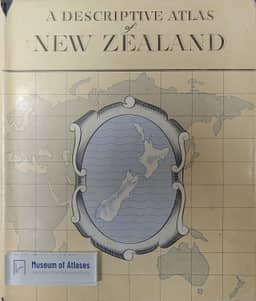
1960This account describes the preparation of a New Zealand reference atlas and its relationship to the abandoned Centennial Atlas. Proposed in 1937, the earlier project had geographical maps nearly drawn and substantial research assembled before wartime service interrupted work; post-war manpower demands prevented its revival. Following an advisory committee's review, Cabinet approved a new programme in June 1954: discontinue the original project, arrange its research material for consultation at the Alexander Turnbull Library, and have the Lands and Survey Department produce a reference atlas followed by occasional historical maps. The atlas was expected by the end of 1958. Designed for general readers, the 176-page, ten-by-twelve-inch volume combines accessible accounts of physical geography, human development and resource use with colour maps. Plans include twenty or more full-page photographs, mostly oblique aerial views, and a gazetteer of approximately 10,000 names with map references, coordinates, feature types and selected descriptive notes. Three expert draughtsmen had worked full-time on the maps since 1954; the author credits cooperation with the Government Printer's staff with developing production procedures expected to make the finished atlas comparable with other world atlases.
Comments
Loading...
0/2000