
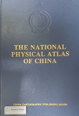
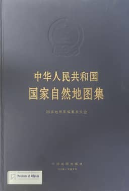
The National Physical Atlas of China
China · Version 6
1989–2012Editor-in-chief Liao Ke describes the compilation, contents, technical innovations, and reception of The National Physical Atlas of China, published in Chinese and English in August 1999. He traces the national atlas project from the 1956 science plan and the start of work in 1958 through the earlier physical atlas, completed in 1965 and issued on a restricted basis in 1967, the Cultural Revolution's disruption of the series, and approval to resume compilation in 1981. The 1999 recompilation involved more than 300 specialists from 40 institutions under the supervision of the Chinese Academy of Sciences and the National Bureau of Surveying and Mapping. The atlas contains 540 maps in five sections covering introductory maps, physical environment, natural resources, natural disasters, and the use and conservation of nature. It synthesizes surveys, long-term observations, and historical records, emphasizing updated data, biodiversity, new geoscientific topics, and practical resource, disaster, and conservation maps, which account for 40 percent of its contents. Liao describes experiments in integrated, remote-sensing, and computer-aided mapping, harmonization of scientific content and representation, and a fully digital workflow for design, compilation, and automatic plate-making. He claims international leadership for these achievements and reports favorable assessments by Chinese and overseas specialists. The article closes with ongoing work on an atlas information system and plans for an electronic edition with dynamic and three-dimensional displays and analytical functions, alongside online publication of selected maps.
Related Atlases
Comments
Loading...
0/2000