
The National Atlas of Brazil
- Publication
- Bulletin of the Society of University Cartographers
- Volume
- 8
- Issue
- 2
- Pages
- 1–4
Brazil
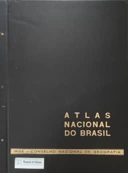
1966J. P. Dickinson reviews the Atlas Nacional do Brasil, first published in 1966 by the Instituto Brasileiro de Geografia e Estatística, as a national reference work and an indication of contemporary Brazilian geography. Produced within an institution responsible for surveying, cartography and geographical research for planners and administrators, the atlas draws heavily on its statistical sister agency’s data, especially the 1960 census. Its approximately sixty loose-leaf sheets, with Portuguese texts, cover political development, the physical environment, population, social provision and economic activity. Dickinson praises the generally high cartographic standard, substantial commentary and techniques for mapping absolute and relative change and complex agricultural variables. Notable themes include cattle trails, the continental shelf, corporate spatial links and trade flows. Agriculture dominates the economic section, although his 1972 copy lacks some originally published crop and mechanization maps; manufacturing receives only two maps, which he finds unsatisfactory. The maps show pronounced regional inequalities, especially the concentration of economic activity and services in the South-east. Older data, incomplete knowledge of the interior, unexplained classifications, overloaded sheets and excessively reduced insets limit interpretation. Dickinson judges the atlas a valuable, comprehensive portrait of Brazil in the mid-1960s, with some maps better suited to specialists than general readers and limited coverage of subsequent economic change. Its loose-leaf format allows updating. He notes that five planned regional atlases had not yet appeared and calls for more detailed national maps of coffee production, industries, the industrial South-east and major cities.
Comments
Loading...
0/2000