
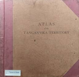
The Monthly Record: Atlas of the Tanganyika Territory
- Publication
- The Geographical Journal
- Volume
- 102
- Issue
- 4
- Pages
- 190-192
Tanganyika · Version 1
1942–1948The review praises the wartime production of the Atlas of the Tanganyika Territory, crediting the Chief Surveyor and his staff, the Government Printer at Dar-es-Salaam, and the local government. About eighteen polyconic maps use a common base with thematic overprints to depict physical conditions, biogeography, human geography, and industry and commerce. The reviewer considers their generalized coverage appropriate to the roughly 1:4,000,000 scale and praises the colours and generally good registration. Historical maps suffer from repeated reproduction. The place-name list omits familiar names; its spelling is largely consistent, though a few variants are questioned. Comparison with the 1922 P.C.G.N. list reveals limited overlap. Despite a cartographical-history note, the atlas does not indicate the current state of topographical mapping or direct readers to more detailed information. The review connects these limitations to difficulties obtaining recent colonial publications in Britain and calls for a central institution in London.
Comments
Loading...
0/2000