
The continuing revision of the Australian National Atlas
- Publication
- Eighth United Nations Regional Cartographic Conference for Asia and the Far East. Volume 2: Technical Papers
- Pages
- 217–221
Australia · Version 2
1980–1990This Australian compilation report describes plans and preliminary work for the third series of the Atlas of Australian Resources as of September 1976. The National Atlas Advisory Committee’s December 1973 report recommended continued serial publication, with each topic normally combining several sheets of maps and commentary. It proposed sheets approximately 430 × 560 mm, accommodating a national map at 1:10,000,000, and about 45 topics to be produced within ten years and released within eight years of publication beginning. Topic selection drew on a user questionnaire and six specialist working groups. The report attributes production delays partly to government restrictions on staffing and expenditure, while completion of the second series remained the priority. Preliminary work included detailed topic planning, assessment of source data, recruitment of specialist assistance, base maps, page layouts and standard symbols. Population mapping was expected to depend on detailed 1976 census results, most of which were not anticipated until 1978.
View whole-article summary
The available opening and closing sections describe the near-completion of the second series of the Atlas of Australian Resources and planning for its third series. By September 1976, the second series was almost complete, with its final topic, “Natural vegetation,” possibly due by January 1977; several earlier topics were also being revised. Examples covering climate, water resources and use, land use, manufacturing, railways, government and major urban areas illustrate changes in data sources, classification, scale and presentation. These include compiling land-use maps with small-area agricultural statistics, using column symbols to quantify manufacturing, and combining multiple maps to present transport, electoral and urban information. The National Atlas Advisory Committee recommended continued serial publication for the third series, normally with several sheets integrating maps and commentary under each topic. Sheets would measure approximately 430 × 560 mm. About 45 topics were recommended for production within ten years and release in twice-yearly batches over no more than eight years after publication began. Topic selection drew on a user questionnaire and assessments by six specialist working groups. Staffing and expenditure restrictions delayed production; preliminary work concerned detailed topic planning, source assessment, specialist collaboration, base maps, layouts and standard symbols. Topics dependent on the 1976 population and housing census faced data-processing delays, with most required small-area detail and cross-classifications not expected until 1978.
Related Atlases
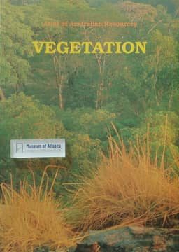
Atlas of Australian Resources, Third Series. Volume 6, Vegetation
Australia · 1990
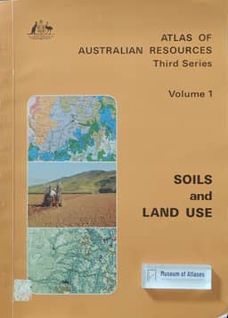
Atlas of Australian Resources, Third Series. Volume 1, Soils and Land Use
Australia · 1980
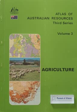
Atlas of Australian Resources, Third Series. Volume 3, Agriculture
Australia · 1982
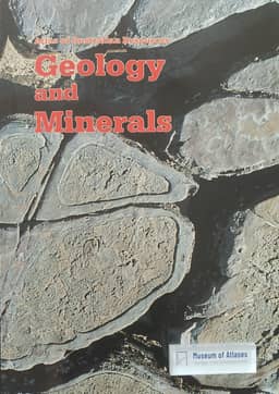
Atlas of Australian Resources, Third Series. Volume 5, Geology and Minerals
Australia · 1988
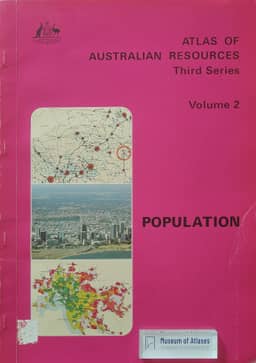
Atlas of Australian Resources, Third Series. Volume 2, Population
Australia · 1980
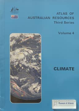
Atlas of Australian Resources, Third Series. Volume 4, Climate
Australia · 1986
Comments
Loading...
0/2000