
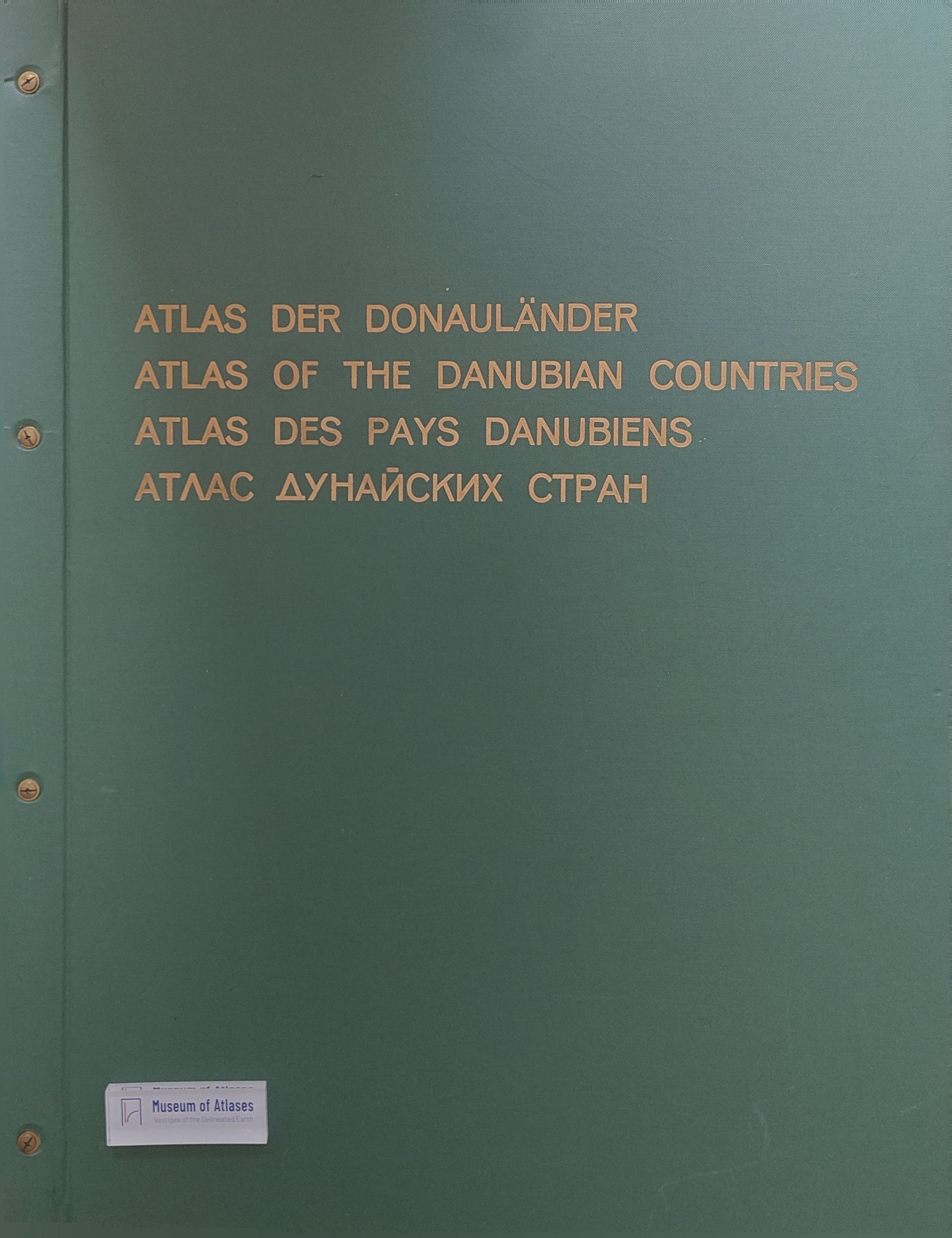
The “Atlas of the Danube countries” of the Austrian Institute of East and Southeast European Studies
Der „Atlas der Donauländer“ des österreichischen Ost- und Südosteuropa-Institutes
- Publication
- Mitteilungen der Österreichischen Geographischen Gesellschaft
- Volume
- 109
- Pages
- 239-256
Atlas der Donauländer · Version 1
1989Josef Breu’s 1967 account describes the preparation of the Austrian Institute of East and Southeast European Studies’ Atlas der Donauländer (Atlas of the Danubian Countries), intended to provide a comparable overview of contemporary conditions in the middle and lower Danube region and neighboring areas. W. Krallert initiated the project in 1957 with ministerial support; Breu assumed the editorship in January 1964. After Freytag-Berndt und Artaria withdrew from further production work because of staffing difficulties, printing and reproduction arrangements were secured with Austria’s Federal Office of Metrology and Surveying. Institute staff and external specialists prepared the maps, supported by international correspondence and visits to obtain sources and cooperation. Covering six states wholly and seven partly, the provisional program comprised 46 maps on physical geography; population, state and society; and economy and transport. The principal scale was 1:2,000,000 on 66 × 93 cm sheets, with smaller-scale quarter maps and planned installments accompanied by German, English, French and Russian explanatory texts. Breu details the construction of a new topographic base using a conic projection, restrictions on access to official mapping, and the reconciliation of divergent scientific classifications and statistics. Boundaries and names followed the de facto situation with a legal disclaimer; labels used official state or regional languages, standardized transliteration, and planned supplementary sheets for alternative names. Population mapping used censuses nearest 1960, geographic density mapping, and separate density maps for 1930 and 1960 because administrative changes prevented a reliable change map. Breu rejects equating language with ethnicity and explains the planned language map’s cautious use of supplementary evidence. Economic and transport maps likewise adapted their symbols and classifications to incomplete data. He acknowledges expected gaps and defects, reporting the editorial judgment that incomplete information was preferable to none and the institute’s intention to encourage understanding among neighboring states.
Comments
Loading...
0/2000