
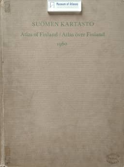
Atlas of Finland, 1960/1962
Suomen Kartasto, 1960, Atlas of Finland, 1960/1962
- Publication
- L'Information Géographique
- Volume
- 28
- Issue
- 3
- Pages
- 133-133
Finland · Version 4
1960Georges Chabot reviews the fourth edition of the Atlas of Finland, comprising 39 plates with 421 maps published in 1960 and an accompanying text volume issued in 1962. He describes it as an entirely new atlas reflecting advances in scientific knowledge and changes in Finland. His survey covers physical geography, population, agriculture, industry, transport and public services. He highlights the population map combining dots with green squares for cultivated acreage, the mapping of people resettled from territories ceded to Russia, and maps showing access to centres by morning bus and train services. Legends are in Finnish and English, with Swedish included on some maps; the text volume provides concise English commentary on every map. Chabot praises the breadth of information, graphic execution and colours, while noting that cities receive limited attention.
View whole-article summary
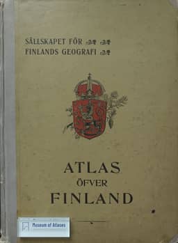
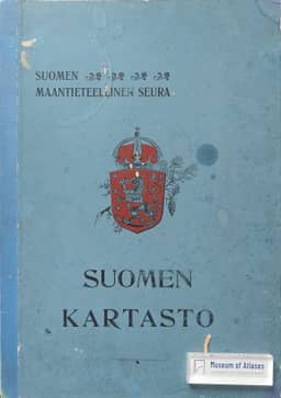
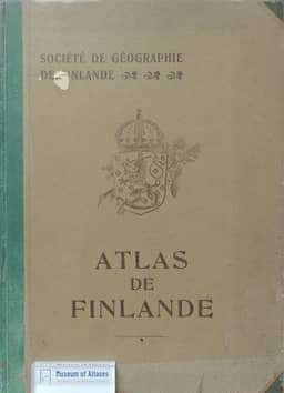
Georges Chabot reviews the fourth Atlas of Finland, published by the Finnish Geographical Society in 1960 with 39 plates and 421 maps, followed by an English commentary volume in 1962. He traces the series from the 1899 atlas, whose population map attracted widespread admiration and whose publication was proclaimed a patriotic act, through the 1910 and 1925 editions. Preparation of the fourth edition began in 1953 under J. C. Granö and continued under Léo Aario after political delays. Chabot regards it as an entirely new atlas reflecting advances in scientific knowledge and changes in Finland. He surveys its physical geography, contrasting demographic patterns, resettlement from territories incorporated into Russia, farm structure, industrial diversification, transport accessibility, public services and regional divisions. Its dot population map recalls the first edition’s map and adds symbols for cultivated acreage. Chabot praises the breadth of information, graphic execution and colors, while noting limited treatment of cities. The concise English commentaries accompany every map; he relates their brevity to the 1951 Handbook of Finnish Geography, which the atlas serves to illustrate. He concludes by placing the atlas within the Society’s continuing publication program and the patriotic tradition of its first edition.
Related Atlases
Comments
Loading...
0/2000