
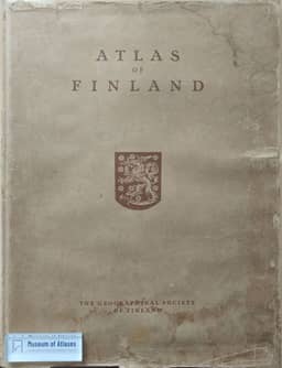
Atlas of Finland 1960
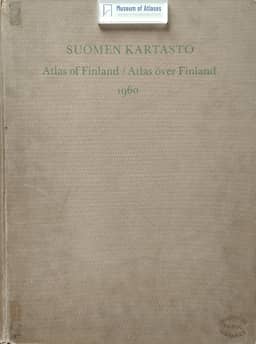
Suomen Kartasto 1960
- Publication
- Terra
- Volume
- 75
- Issue
- 1
- Pages
- 67-69
Finland · Version 4
1960Editor Leo Aario recounts the compilation and publication of the 1960 Atlas of Finland. He explains that institutions could seldom supply material ready for mapping, and editorial work reached full operation after the University of Helsinki’s Department of Geography became a co-publisher in 1957, providing staff to collect and process data in collaboration with specialists. According to Aario, new subjects and cost limits required substantial changes in coverage: the atlas contains 415 maps compared with its predecessor’s 275, with greater use of smaller scales and colour. He describes efforts to show regional change through maps for different dates and 106 diagrams or diagram groups, and to facilitate comparisons by using consistent colour scales for percentages where appropriate. An incomplete atlas was exhibited in Stockholm in August 1960; the atlas itself was completed in February 1961. The shorter accompanying textbook appeared in Finnish in May 1961 and English in April 1962, while the Swedish edition was still in preparation.
View whole-article summary
The Geographical Society in Finland appointed a committee on December 4, 1953, to manage the publication of a new Atlas of Finland. The chairman of the committee was at first Professor J. G. Granö, later Professor Väinö Auer. Professor Leo Aario was chosen as the editor of the atlas. The maps for the atlas, which were printed in the cartographic printing works of the Central Board of Land Survey, were completed in 1960. The atlas, with the text pages which were printed by the Publishing Company Otava, was published in February 1961. The Finnish text book appeared in May 1961 and the English in April 1962. The Swedish textbook is under preparation.
Related Atlases
Comments
Loading...
0/2000