
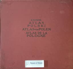
Reports and reviews: Geographical and statistical atlas of Poland
Sprawozdania i oceny: Geograficzno statystyczny atlas Polski
- Publication
- Kosmos
- Pages
- 205-210
Poland · Version 1
1916–1921S. Pawłowski reviews E. Romer's Geographical-Statistical Atlas of Poland (1916), praising its anthropogeographical integration of natural conditions, human activity and culture. He places it alongside earlier Polish statistical atlases, which he finds geographically and technically limited. Although its popular presentation sometimes compresses material excessively, he considers its cited scientific sources and handling of heterogeneous, sometimes distorted statistics from the three partitioning states major strengths. He particularly praises Romer's adaptation of the isarithmic method from climatology to statistics, associating economic and social patterns with terrain and natural conditions instead of administrative divisions. The review surveys physical, economic, demographic and cultural maps, highlighting their design and interpretations of agriculture, industry, population and religion. It also notes an unclear tectonic map and inaccuracies in the mining diagrams. The atlas covers Poland within its 1772 borders and additional formerly Polish territories; Spiš is excluded because of statistical difficulties and an insufficiently defined Polish question there. Pawłowski defends this territorial scope against L. Sawicki's criticism and interprets maps of ethnicity, religion, landownership and electoral participation as supporting Polish territorial claims. He concludes by crediting Romer with both scientific and civic achievement.
Comments
Loading...
0/2000