
Some problems of industrial maps in national atlases
- Publication
- Sborník Československé společnosti zeměpisné
- Volume
- 65
- Issue
- 3
- Pages
- 227-233
Czechoslovak · Version 1
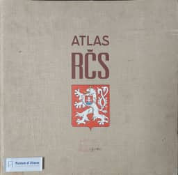
1935In discussing preparations for a new national atlas, the author criticizes the industrial maps in the 1935 Atlas of the Czechoslovak Republic for relying mainly on statistical cartograms with arbitrary, mutually incompatible classification scales that prevented comparison. The author also describes these maps as limited to locating phenomena and showing their magnitude, identifying the representation of economic-geographical connections as a goal for the planned successor.
View whole-article summary
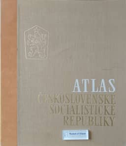
The article describes preparation of the new Czechoslovak national atlas—the project associated with the linked Atlas of the Czechoslovak Socialist Republic—and examines problems of industrial mapping. Intended to replace the 1935 atlas, it was expected to be ready around 1965; its conception had been settled and work had begun on about one fifth of its maps. Planning drew on comparisons with other national atlases and Soviet methods adapted to Czechoslovak conditions. The proposed 80 plates, with no more than about 200 maps and multilingual explanatory texts, covered introductory and historical material, physical geography, population and settlements, production, living standards, regions, and general syntheses and international connections. The author argues that industrial maps should be the atlas’s substantive focus and criticizes the 1935 atlas’s industrial cartograms for their incomparable classifications. Proposed methods use settlement units defined by built-up continuity and occupational structure, with internal detail for large agglomerations; a simple industrial classification allowing national subdivisions; and comparable measures of industrial size. Physical output is proposed for international comparison, while employment is emphasized for comparison among Czechoslovak industrial branches. The author considers full representation of economic-geographic relationships unresolved and proposes selected contextual base-map features and supplementary diagrams of industrial organization and production connections, noting limitations tied to centrally planned economies. International comparability is presented as a means of comparing national economies and contributing to peaceful coexistence.
Related Atlases
Comments
Loading...
0/2000